What is the Sarangani earthquake 2026?
The Philippine Institute of Volcanology and Seismology (PHIVOLCS) reported a 7.8 magnitude earthquake offshore Sarangani, southern Philippines, at approximately 0737 local time on 08 June 2026. The earthquake was located about 32 km south-west of Maasim, Sarangani Province, at a depth of approximately 33 km. PHIVOLCS subsequently recorded a 6.7 magnitude aftershock at approximately 0855 local time. The Pacific Tsunami Warning Center warned that tsunami waves were possible within three hours along the coasts of the Philippines, Indonesia, Palau, Taiwan, and Papua New Guinea. Philippine authorities forecast waves exceeding one metre above normal tide levels in some coastal areas.
Which areas are affected?
Residents in coastal areas of Sarangani, Davao Occidental, Tawi-Tawi, Sulu, Basilan, Zamboanga del Sur, Zamboanga Sibugay, Sultan Kudarat, and South Cotabato have been strongly advised to immediately evacuate to higher ground or move further inland. Aftershocks are expected across southern Mindanao, particularly in Sarangani Province, General Santos City, Maitum, Maasim, Alabel, Glan, and nearby areas closest to the epicentre.
What are the current impacts?
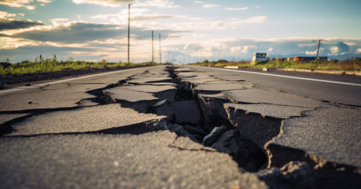
Authorities are verifying reports of at least five fatalities in General Santos City. In Alabel, Sarangani Province, structural cracks were reported at the municipal police headquarters. In Maasim, Sarangani Province, local officials reported damage to a bridge and the collapse of a religious shrine. Commercial facilities in General Santos City sustained damage, including the collapse of the upper floor of a Jollibee restaurant. The Civil Aviation Authority of the Philippines temporarily suspended operations at General Santos International Airport. Authorities in several areas suspended school classes. The Department of Energy is assessing the impact on power networks.
What are the immediate risks?
Additional aftershocks are expected. Previously damaged buildings, bridges, public facilities, and commercial establishments face an elevated risk of further structural deterioration. Disruptions to electricity and telecommunications services may persist in parts of Sarangani Province. Personnel in coastal communities should remain alert to updated tsunami or evacuation advisories.
What should organisations and individuals do to prepare?
Organisations should monitor PHIVOLCS updates at @PHIVOLCS_DOST on X. Avoid entering buildings that have not been inspected or declared safe. Prepare for power and telecom disruptions. Individuals should follow instructions from local authorities, remain alert to tsunami advisories, and move to an open area away from buildings, utility poles, and bridges during strong aftershocks. Emergency numbers: General Santos City DRRMO: +63 83 301 2929; CDRRMO Operations Center: (083) 552-3939; CDRRMO Rescue & Ambulance: 0943-461-4548; Philippine Coast Guard (GenSan Station): (083) 301-2112.
Frequently asked questions
When did the Sarangani earthquake occur?
The magnitude 7.8 earthquake struck at 0737 local time on 08 June 2026, followed by a magnitude 6.7 aftershock at 0855.
Which areas are under tsunami warning?
Coastal areas of the Philippines, Indonesia, Palau, Taiwan, and Papua New Guinea were warned of possible tsunami waves.
What are the emergency contact numbers for General Santos City?
General Santos City DRRMO: +63 83 301 2929. CDRRMO Operations Center: (083) 552-3939. CDRRMO Rescue & Ambulance: 0943-461-4548. Philippine Coast Guard (GenSan Station): (083) 301-2112.
Download the full advisory now
datasurfr’s Special Advisory on the Sarangani earthquake carries the complete impact assessment, the full list of affected areas, and a detailed contacts directory. Download the full advisory now to brief your travel and continuity teams.
Filed under: APACRegional Risk Reviews