KEY TAKEAWAYS:
- Hurricane Polo, the 18th named storm, 7th hurricane and 3rd Category 5 hurricane of the 2026 Pacific season, is forecast to make landfall in Baja California Sur on 28 September, with a second landfall expected along mainland northwestern Mexico about 24 hours later.
- The storm formed as a tropical depression on 20 September and reached maximum sustained winds of 165 mph (265 km/h), making it the strongest eastern Pacific storm of the year; it weakened to Category 4 on 27 September and further weakening is forecast before landfall.
- A Hurricane Watch is in effect for parts of Baja California Sur, with 102 to 203 mm of rain expected and isolated totals near 254 mm, raising the risk of life-threatening flash flooding and mudslides across steep terrain in Baja California Sur, Sinaloa, Sonora and Chihuahua. Heavy rain is also forecast for Guerrero and Michoacán through 1 October.
- Polo is not forecast to make landfall in the US, but Southern California faces high surf and rip currents, and moisture could add to monsoon rainfall in Arizona and New Mexico.
- Businesses with people, freight or facilities along Mexico’s Pacific coast should expect flight, ferry, port and road disruption, plus power and telecom outages, through at least 29 September.
Hurricane Polo is bearing down on Mexico’s Baja California peninsula after peaking as a Category 5 storm, with a double landfall expected over roughly 48 hours. Here is what the forecast says, which areas are most exposed, and what organisations should do now.
What is Hurricane Polo and where will it make landfall?
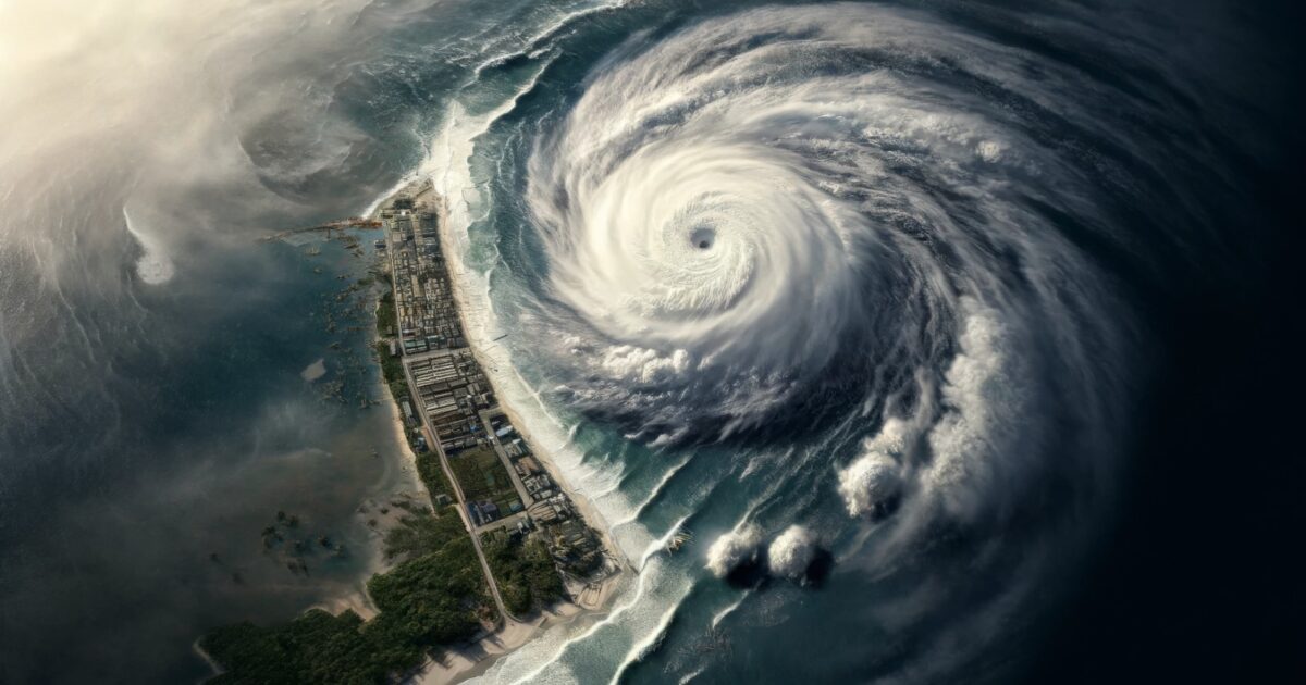
Hurricane Polo formed as a tropical depression on 20 September and rapidly strengthened into the 18th named storm, 7th hurricane and 3rd Category 5 hurricane of the 2026 Pacific hurricane season. The US National Hurricane Center describes it as the strongest eastern Pacific storm so far this year, with maximum sustained winds reaching 165 mph (265 km/h). Hurricane Polo is expected to make landfall in Baja California Sur on 28 September, followed about 24 hours later by a second landfall along the coast of mainland northwestern Mexico. The storm reportedly weakened to Category 4 on 27 September, with further weakening forecast ahead of its first landfall.
What are the forecast rainfall, wind and flood risks?
A Hurricane Watch remains in effect for parts of Baja California Sur. Tropical storm conditions may begin from the night of 27 September, with hurricane conditions possible from the afternoon of 28 September between Punta Eugenia and Santa Fe in Baja California. Polo is forecast to produce roughly 102 to 203 millimetres of rainfall, with isolated maximum totals near 254 mm across parts of Baja California Sur. The US National Hurricane Center and Mexican civil protection authorities have both warned of life-threatening flash flooding and mudslides, particularly across steep terrain, and the second landfall extends that flood threat to Sinaloa, Sonora and Chihuahua.
Which areas will Hurricane Polo affect in Mexico and the United States?
In Mexico, coastal areas of Baja California, Baja California Sur, Sonora, Sinaloa, Nayarit, Jalisco, Colima, Michoacán and Guerrero face rainfall, strong winds, rough seas and elevated risk of flooding, landslides and coastal inundation. Heavy rain is also expected in Guerrero and Michoacán through 1 October, with inclement weather along the coasts of Oaxaca, Colima and Jalisco. In the United States, Hurricane Polo is not forecast to make landfall, but Southern California should expect large swells, high surf and dangerous rip currents, and moisture from the storm could move into the Southwest, adding to monsoon rainfall in parts of Arizona and New Mexico.
How will Hurricane Polo disrupt transport, infrastructure and business operations?
Air, maritime and road operations across the affected states are likely to face flight delays and cancellations, ferry suspensions, port restrictions and temporary road closures. Major road networks in coastal areas and near riverbanks are likely to be inundated during heavy rainfall, interrupting connectivity and delaying freight movement across western Mexico. Power and telecommunications outages are also likely, particularly during periods of heavy rain. Mexican authorities have opened emergency shelters, restricted access to beaches and coastal strips, and deployed 15,000 security and civil protection personnel, with the Navy’s Marine Plan activated in nine Pacific states and further evacuations or movement restrictions possible in high-risk areas.
What should organisations and individuals do to prepare?
Avoid non-essential travel to the coastal areas of the affected Mexican states, and maintain contingency plans for port, aviation and inland logistics schedules through 29 September. Avoid flooded, debris-covered or landslide-prone roads, and keep water, food, medicines, flashlights and backup power ready in coastal, low-lying or flood-prone locations. Monitor the national meteorological service, the National Hurricane Center and civil protection channels for updates, and check airport and airline channels for cancellations and delays. In an emergency in Mexico, dial 911.
Frequently asked questions
When will Hurricane Polo make landfall?
Landfall in Baja California Sur is forecast for 28 September 2026, with a second landfall on mainland northwestern Mexico expected about 24 hours later.
How strong is Hurricane Polo?
Polo reached maximum sustained winds of 165 mph (265 km/h) as a Category 5 hurricane, the strongest eastern Pacific storm of 2026 so far, and had weakened to Category 4 by 27 September.
Will Hurricane Polo hit the United States?
No US landfall is forecast, but Southern California faces high surf and rip currents, and moisture could add to monsoon rain in Arizona and New Mexico.
What is the emergency number in Mexico?
Dial 911 for police, fire, medical and civil protection emergencies.
Download the full report now
datasurfr’s Risk Flash on Hurricane Polo, powered by MitKat Advisory Services, carries the full forecast track map, state-by-state impact analysis and the complete list of official advisory channels and emergency contacts. Download the full report now to brief your operations, logistics and travel-security teams.
Filed under: AmericasRegional Risk Reviews