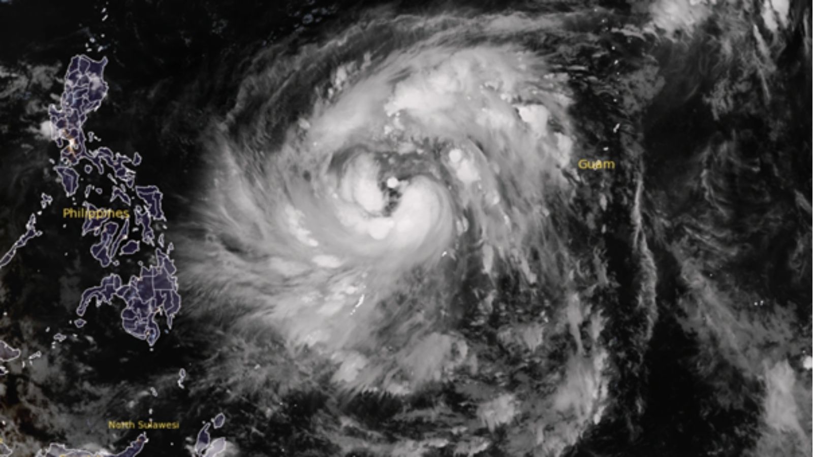
Operational Context
The Philippines is bracing for the arrival of Tropical Storm Fung-Wong on Sunday, 09 November 2025, with projected impact across Luzon, Visayas, and Mindanao. The Philippine Atmospheric, Geophysical and Astronomical Services Administration (PAGASA) has issued early warnings of heavy rainfall, gusty winds, and possible storm surges. Although not predicted to reach super typhoon intensity, Fung-Wong’s wide rain band and slow movement could trigger flooding, landslides, and prolonged power outages. Historical parallels with storms such as Enteng, Paolo, and Amang show that tropical systems of this magnitude can still cause major operational and humanitarian disruption. The Severity Score is 3 / 5, reflecting moderate to high impact potential, while Confidence remains high (90%), given clear meteorological tracking and past event patterns.
Executive Summary
- Event Date: 09 November 2025
- Location: Nationwide impact (Luzon, Visayas, Mindanao)
- Risk Category: Natural Disasters
- Severity Level: 3 / 5
- Confidence Score: 90 %
Fung-Wong is forecast to bring intense rainfall (100–200 mm) and winds up to 85 km/h, particularly along eastern Luzon and Samar. Flooding in low-lying areas, flight and ferry cancellations, and scattered power interruptions are expected.
While the storm’s direct impact will last 2–4 days, enhanced monsoon rains may continue into the following week, prolonging recovery efforts.
Current Updates
- PAGASA has placed eastern seaboards of Luzon and Visayas under gale warnings; updates to be issued every six hours.
- The NDRRMC has directed regional disaster offices to pre-position relief assets and standby response units.
- Local governments in Bicol, Samar, and Cagayan Valley have begun early evacuation advisories for flood-prone and coastal communities.
- Airlines have announced select domestic flight cancellations; maritime transport suspended in multiple ports due to rough seas.
Known Hotspots & Sensitive Zones
- Eastern Luzon & Samar: High flood and storm-surge risk along coastal districts.
- Cordillera & Northern Mindanao: Susceptible to landslides and road blockages.
- Metro Manila & Central Luzon: Urban flooding potential due to drainage overflow.
- Bicol & Visayas: Anticipated power interruptions and road access challenges.
Impact on Transportation & Services
- Air & Sea Travel: Flight cancellations and suspension of ferry operations along eastern coasts.
- Road Networks: Possible closures along Maharlika Highway (AH26) and mountain passes.
- Utilities: Localized power blackouts and communication service interruptions.
- Business Operations: Disrupted logistics and staff absenteeism in affected regions.
- Safety: Risk of flash floods, electrocution, and falling debris in urban centers.
Recommended Action
Employee & Mobility Advisories
- Activate work-from-home or flexible schedules in affected areas.
- Ensure emergency contact verification and local check-ins during the storm period.
Facility & Asset Protection
- Move critical assets to higher ground; test backup power systems and drainage pumps.
- Secure outdoor signage, glass panels, and loose equipment.
Supply Chain Preparedness
- Coordinate early deliveries of essential goods; reroute through unaffected ports or depots.
- Pre-position stocks to sustain short-term operational continuity.
Communication & Crisis Management
- Provide regular updates to staff, partners, and clients through verified channels.
- Align all actions with NDRRMC and PAGASA advisories to ensure compliance.
Multi-Dimensional Impact
The storm will likely produce nationwide logistical strain, compounding local infrastructure vulnerabilities.
- Short-term: Flight and ferry disruptions, flash floods, and landslides across Luzon and Visayas.
- Medium-term: Power restoration challenges and agricultural damage in floodplains.
- Long-term: Soil erosion and cumulative losses in public works and utilities, particularly in northern provinces.
Situation Outlook
Over the next several days, Tropical Storm Fung-Wong is expected to impact parts of the Philippines with varying severity. The baseline scenario anticipates the storm maintaining moderate intensity, causing regional flooding and short-term power outages, with normal conditions restored within 48–72 hours. A moderate escalation could occur if the system intensifies or stalls, leading to widespread flooding across Luzon and Visayas and operational disruptions lasting 3–5 days. In a severe case , rapid intensification or interaction with another system (e.g., Typhoon Phoenix) could trigger catastrophic flooding, prolonged blackouts, and sustained economic disruption across multiple regions.
Emergency & Monitoring Channels
- Emergency: 911
- Police: 117
- Fire: 160
- Ambulance: 143
- PAGASA: www.pagasa.dost.gov.ph
- NDRRMC: (02) 8911-5061 to 65
- Philippine Red Cross: Hotline 143
- Key Feeds:
- @PAGASA_DOST – weather updates
- @NDRRMC_OpCen – emergency alerts
- @philredcross – humanitarian updates
Strategic Takeaway
Tropical Storm Fung-Wong will bring heavy rains, flooding, and transport paralysis to large parts of the Philippines starting 9 November. Organizations should activate emergency protocols, protect critical assets, and maintain continuous communication with staff and local authorities. The event underscores the region’s ongoing exposure to seasonal weather volatility, emphasizing the need for robust continuity planning and adaptive logistics. Stay ahead of operational risks with real-time alerts, scenario modeling, and expert advisories with datasurfr’s Predict. Start your 14-day free trial of Datasurfr’s Risk Intelligence Platform today.
