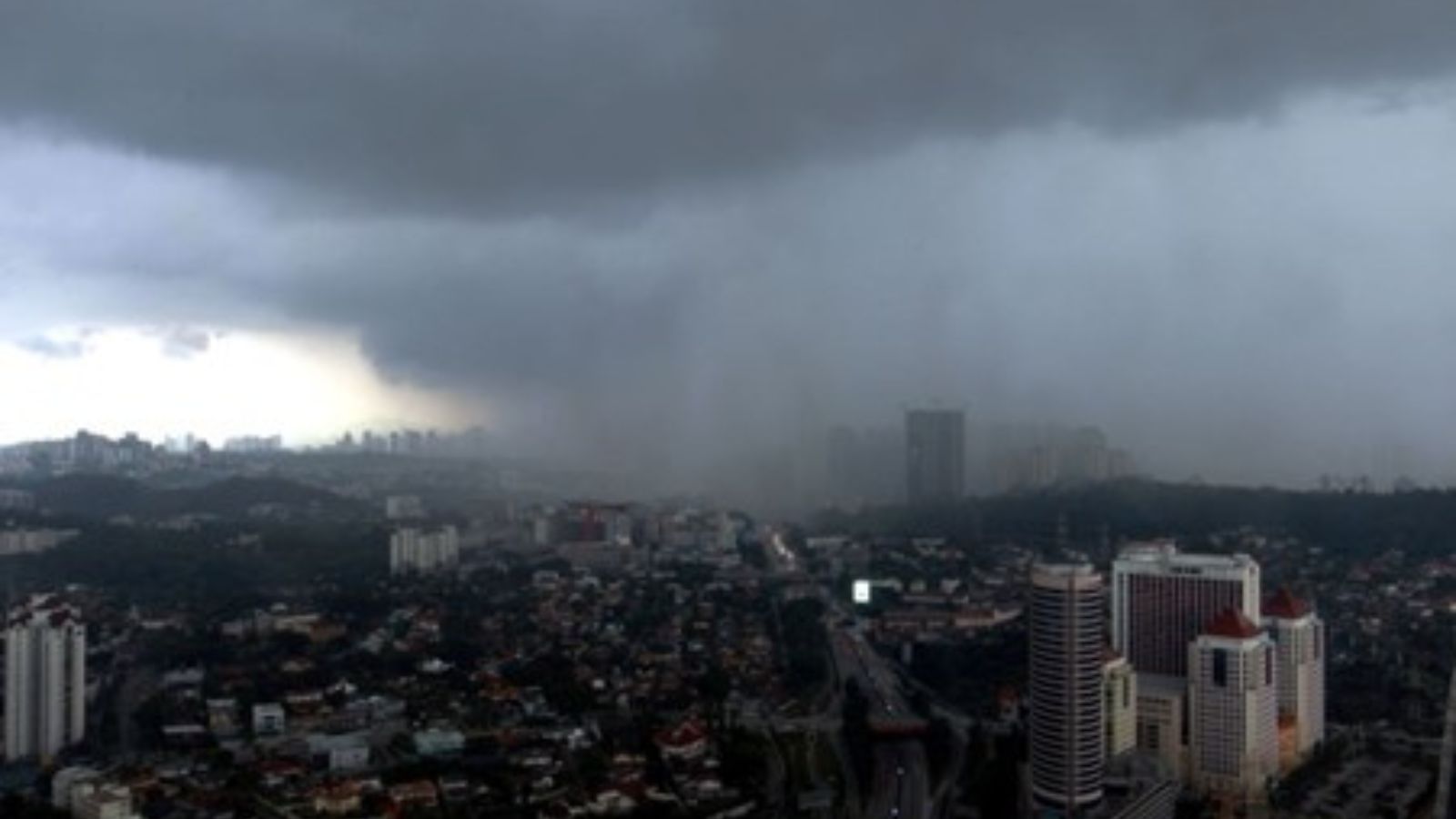
Executive Summary for the Thunderstorm Forecast in Malaysia
A thunderstorm warning has been issued for parts of Malaysia on 13 February, forecasting heavy rain, lightning, and gusty winds across affected districts. The most likely impact window for individual localities is three to eight hours, with possible intermittent showers continuing up to 24 hours. Primary risks include flash flooding, reduced visibility, transport delays, and minor utility disruptions. While impacts are expected to remain localized, business continuity and travel disruption risks warrant precautionary measures.
- Event Date: 13 February
- Location: Malaysia
- Risk Category: Environment
- Severity Level: 3 / 5
- Confidence Score: 80 %
Operational Context
Malaysia frequently experiences convective thunderstorms during the early-year inter-monsoon transition, particularly affecting Selangor, Sarawak, and Sabah. Historical advisories indicate storms typically develop between late morning and evening, producing intense rainfall, frequent lightning, and wind gusts between 30–60 km/h. While events are generally short-lived, repeated thunderstorm warnings in recent weeks demonstrate a pattern of localized flash flooding, fallen trees, and temporary infrastructure strain. Urban lowlands, coastal corridors, and riverine districts are especially vulnerable to drainage overflow and traffic ponding. Although systemic infrastructure collapse is unlikely, concentrated rainfall over the same catchment areas can extend operational impacts to 24–48 hours.
Known Hotspots & Sensitive Zones
- High Impact Zones: Coastal and low-lying districts in Selangor (Klang, Kuala Langat), riverine zones in Kuching and Serian (Sarawak), and interior Sabah districts including Sipitang, where flash flooding and fallen trees are historically reported.
- Medium Impact Zones: Urban arterial roads and trunk routes connecting Kuching, Betong, Sibu, Mukah, Bintulu, Miri, and Limbang, which may experience ponding and debris-related slowdowns.
- Low Impact Zones: Elevated inland zones with effective drainage, though lightning and gust-related asset exposure remain possible.
Recurring thunderstorm advisories in January–February indicate seasonal clustering of short-duration but intense rainfall events.
Impact on Transportation & Services
Localized road closures and slow-moving traffic are likely on flood-prone arterial routes, particularly along coastal and river-adjacent corridors. Reduced visibility and water ponding may disrupt commuter flows and delay last-mile logistics. Regional airports such as Kuching, Miri, and Tawau may experience minor operational delays due to adverse weather conditions. Short-term power flickers or localized outages may occur where strong gusts affect overhead distribution lines. Construction, retail, and outdoor operations may temporarily suspend activity during peak storm intensity.
Recommended Action
- Organizations should activate storm response protocols and monitor official weather updates in real time.
- Secure outdoor equipment, signage, and loose materials against gust damage. Clear drainage systems and deploy temporary flood barriers in low-lying facilities.
- Consider staggered work hours or remote working to reduce commuter exposure during peak thunderstorm periods.
- Logistics managers should review delivery schedules and reroute shipments away from flood-prone corridors where feasible.
- Coordination with local disaster management authorities and adherence to official advisories are advised to ensure rapid response and compliance.
Multi-Dimensional Impact
Temporary school closures, emergency shelter activation in localized flood zones, and short-term supply chain delays may indirectly affect commercial activity and community mobility.
Emergency Contacts
- Emergency Number: 999
- National Disaster Management Agency (NADMA) Malaysia: nadma.gov.my/bm/
- METMalaysia: met.gov.my/
Situational Outlook
Over the next 24–72 hours, the most probable scenario involves scattered but intense thunderstorms producing localized flash flooding and commuter delays, with rapid dissipation following peak convective hours. A moderate escalation could occur if storm cells repeatedly impact the same districts, leading to prolonged road closures and extended power disruptions lasting up to 48 hours. Severe escalation remains less likely but would involve a slow-moving squall line affecting multiple states simultaneously, causing broader transport disruption and emergency shelter activation. Based on current advisory patterns, impacts are expected to remain short-term and geographically concentrated.
Strategic Takeaway
The thunderstorm warning represents a moderate environmental risk characterized by short duration but potentially disruptive weather conditions. Businesses should prioritize asset protection, workforce flexibility, and supply chain resilience to mitigate localized flooding and transport disruption. Continuous monitoring of official advisories and integration of early warning platforms such as MitKat’s Datasurfr will enhance preparedness and support timely operational decision-making during evolving severe weather events. Stay ahead of operational risks with real-time alerts, scenario modeling, and expert advisories with datasurfr’s Predict. Start your 14-day free trial of Datasurfr’s Risk Intelligence Platform today.


