Operational Context
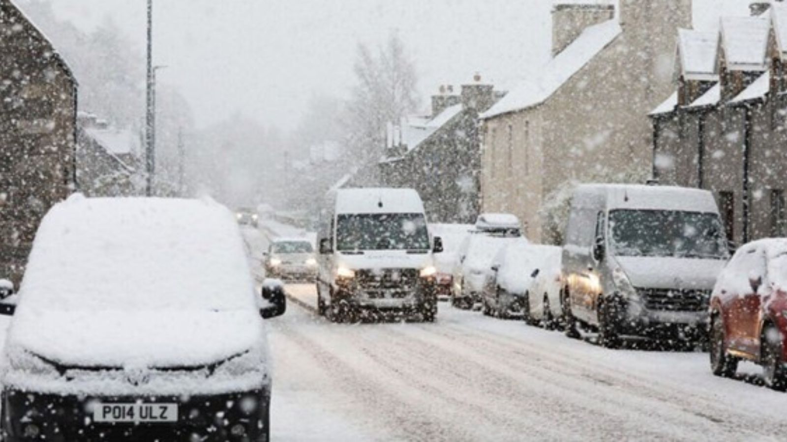
A period of snow and ice is expected across London, South East England and adjoining regions on 19 November. Forecast models indicate scattered wintry showers overnight, followed by sub-zero temperatures that will allow ice to form on untreated surfaces. Historical patterns from prior UK yellow snow and ice warnings show that even light accumulations can cause outsized disruption to commuting, freight and emergency responses, particularly during early winter when gritting schedules are not yet fully aligned with persistent cold spells. The event’s Severity Score of three reflects a moderate but notable operational impact, while the Confidence Level of seventy per cent corresponds to typical forecast variability in short-duration winter events.
Executive Summary
- Event Date: 19 November 2025
- Location: London, Southeast England and adjoining UK regions
- Risk Category: Environment
- Severity Level: 3 / 5
- Confidence Score: 70 %
The event is expected to produce light snowfall and widespread ice between 0200–1200 hours, with potential delays to road, rail and bus networks. Business operations relying on surface mobility may see temporary disruption, and a short-lived increase in slips, falls and transport collisions is likely.
Known Hotspots & Sensitive Zones
High Impact: Elevated routes such as M25 junction slip roads, A2, A20, A21 corridors; London Bridge and Waterloo station access areas.
Medium Impact: Borough-level minor roads, retail zones (Oxford Street, Croydon), airport forecourts at Heathrow and Gatwick.
Low Impact: Well-gritted arterial roads and urban cores with continuous traffic flow.
Recurrent seasonal risks include icy pedestrian surfaces, frozen rail points and bus route cancellations on hilly suburban approaches.
Impact on Transportation & Services
Roads may experience localised closures and congestion due to ice-related incidents. Rail services on Southeastern and Greater Anglia lines could see delays from frozen points and overhead issues. Bus operations may be reduced on exposed routes. Business operations relying on last-mile delivery, in-person attendance or outdoor work may encounter delays and reduced staffing availability.
Recommended Action
- Activate snow and ice SOPs, including facility gritting, hazard markings and staff travel advisories.
- Enable remote work for non-essential personnel; provide controlled transport for essential staff.
- Protect facilities by securing outdoor equipment, verifying generators, and pre-gritting loading bays.
- Pre-notify customers regarding possible delays and adjust delivery timetables.
- Monitor Met Office and local authority dashboards for real-time gritting and closure updates.
Emergency Contacts
- Emergency (UK): 999
- Non-Emergency Police: 101
- NHS (Non-Urgent): 111
- Met Office Alerts: metoffice.gov.uk
- TfL Status: tfl.gov.uk
- National Rail Enquiries: nationalrail.co.uk
Situational Outlook
Baseline scenario expects light accumulations and ice causing routine delays and localised incidents, with normal operations resuming within twenty-four hours. Moderate escalation may involve heavier wintry showers and limited road or rail closures. Severe escalation remains unlikely but may involve prolonged congestion, rail cancellations and multi-day logistics disruption.
Strategic Takeaway
The risk trajectory suggests short-term disruption concentrated around morning peak hours. Businesses should prioritise safe mobility, flexible staffing and early communication. This event highlights the continuing need for anticipatory winter planning, real-time monitoring and continuity solutions such as MitKat’s Datasurfr for predictive alerts and operational resilience.
Stay ahead of operational risks with real-time alerts, scenario modeling, and expert advisories with datasurfr’s Predict. Start your 14-day free trial of Datasurfr’s Risk Intelligence Platform today.
