Executive Summary for the Road Closures in Mexico
Municipal authorities have scheduled road closures in the Olas Altas sector for Carnival-related installations on 11 February. The closures are expected to generate moderate, localized traffic disruption, restricted vehicle access, and elevated crowd concentrations. While citywide business continuity impact remains limited, tourism-facing businesses and logistics operations within Centro and the malecón corridor face short-duration operational constraints. Impacts are predictable and manageable with structured contingency planning.
- Event Date: 11 February
- Location: Olas Altas area, Miguel Alemán Avenue, Paseo Claussen, Zaragoza Avenue, Mazatlán, Sinaloa, Mexico
- Risk Category: Travel Risks
- Severity Level: 3 / 5
- Confidence Score: 78 %
Operational Context
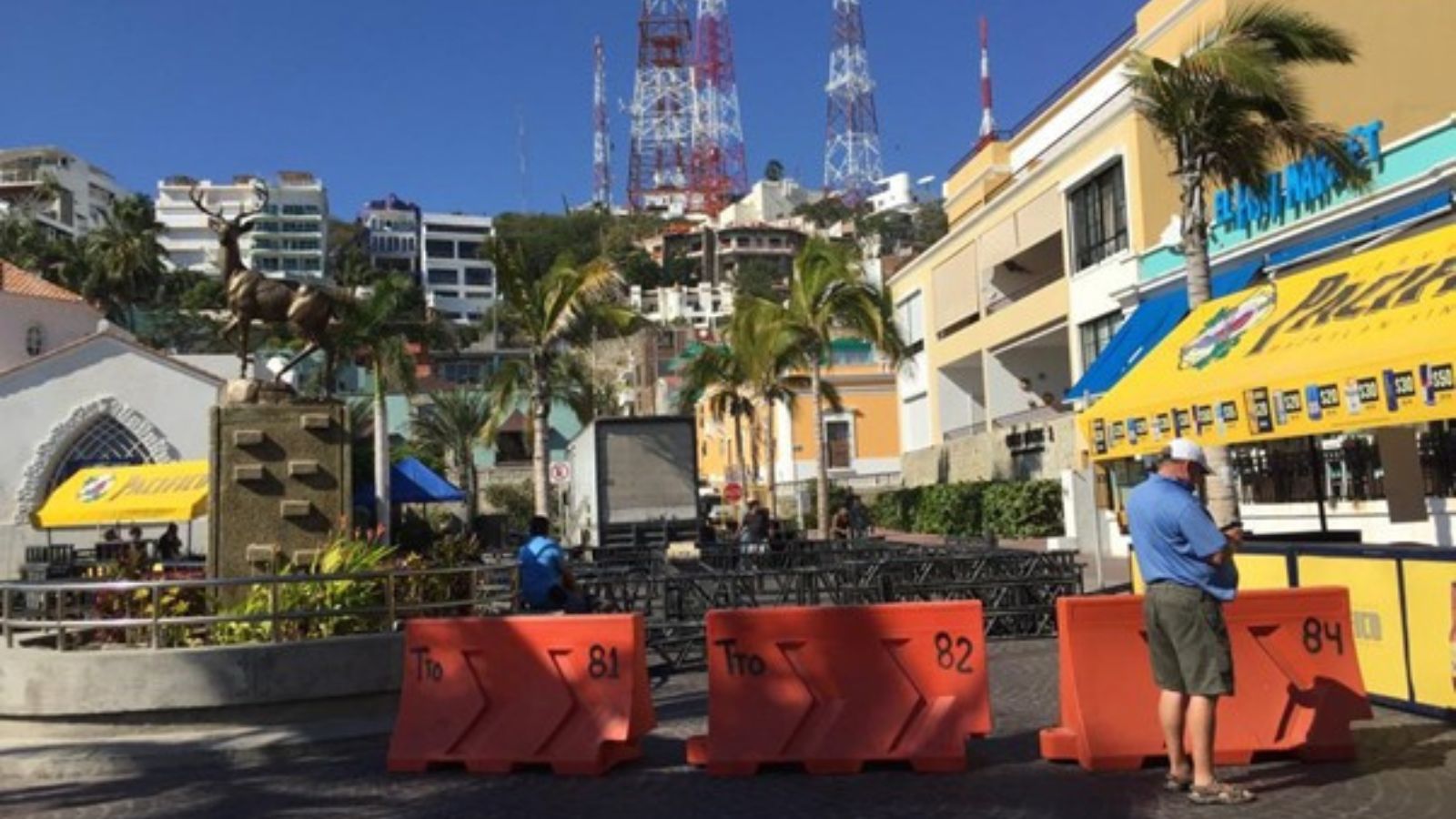
Mazatlán Carnival is a recurring, municipally coordinated event that concentrates large public gatherings along the malecón and Centro Histórico, particularly in the Olas Altas corridor. Preparatory activities, including installation of stages, tents, lighting, and security perimeters, typically require phased road closures and restricted vehicle access. Based on historical Carnival operations and comparable municipal event setups, the effective disruption window generally extends beyond the primary event day, incorporating installation (24–72 hours) and dismantling (24–48 hours). The Olas Altas waterfront and adjacent streets such as Miguel Alemán Avenue, Paseo Claussen, and Zaragoza Avenue form a high-traffic tourism and hospitality corridor, making localized closures operationally significant despite limited citywide impact.
Known Hotspots & Sensitive Zones
- High Impact Zones: Avenida Olas Altas waterfront stretches, Plazuela Machado vicinity, and malecón-adjacent intersections near Calle 16 de Septiembre, where stage construction and pedestrianization will restrict vehicle access.
- Medium Impact Zones: Adjacent Centro streets including Miguel Alemán Avenue, Paseo Claussen, and Zaragoza Avenue, where rerouted traffic may cause congestion and delayed deliveries.
- Low Impact Zones: Peripheral districts outside the historic center, where spillover congestion is expected to remain temporary.
Carnival-related road closures are a recurring seasonal pattern, typically producing short-term mobility disruption without prolonged infrastructure damage.
Impact on Transportation & Services
Primary road closures in the Olas Altas corridor will divert private vehicles, taxis, and rideshare services to alternate Centro routes, increasing congestion and travel times. Local bus services may adjust pickup and drop-off points. While General Rafael Buelna International Airport operations are not directly affected, increased Carnival passenger volumes may amplify surface transport delays. Businesses within the closure footprint may experience restricted delivery windows, access limitations for staff, and temporary communication congestion on mobile networks during peak crowd periods.
Recommended Action
- Organizations should activate temporary traffic management and contingency routing plans, pre-authorize adjusted delivery schedules, and notify drivers of designated staging zones at least 24 hours prior to closure.
- Critical-role staffing should be reviewed 48 hours in advance, with remote work options considered where feasible.
- Proactive stakeholder communication, via SMS, email, and website advisories, should outline revised operating hours and alternate access points.
- On-site safety protocols, including crowd management measures, asset security reinforcement, and coordination with municipal authorities and local police, are advised.
- Longer-term strategies should integrate seasonal event risk mapping into business continuity frameworks.
Multi-Dimensional Impact
Elevated pedestrian density may increase minor medical incidents and opportunistic petty crime risk. Concentrated policing in Carnival zones could marginally affect response times elsewhere in the municipality.
Emergency Contacts
- Emergency Number: 911
Situational Outlook
Over the next 24–72 hours, planned closures are expected to proceed as scheduled with controlled traffic rerouting and managed crowd flows. The most probable scenario involves moderate congestion and temporary access limitations confined to the Centro Histórico and malecón corridor. A moderate escalation scenario could arise from higher-than-anticipated crowd volumes or isolated security incidents, extending congestion and delivery delays for several hours. Severe escalation remains low probability but could result from unrelated security events or adverse weather during installations, prompting expanded closures and extended disruption. Overall, impacts are anticipated to remain localized and time bound.
Strategic Takeaway
The scheduled Olas Altas road closures represent a predictable, event-driven travel risk requiring targeted mitigation rather than broad operational concern. Businesses operating in the Centro and waterfront corridor should prioritize traffic management, stakeholder communication, and asset protection. Stay ahead of operational risks with real-time alerts, scenario modeling, and expert advisories with datasurfr’s Predict. Start your 14-day free trial of Datasurfr’s Risk Intelligence Platform today.
