Executive Summary for the Heavy Rainfall Forecast Across Brazil
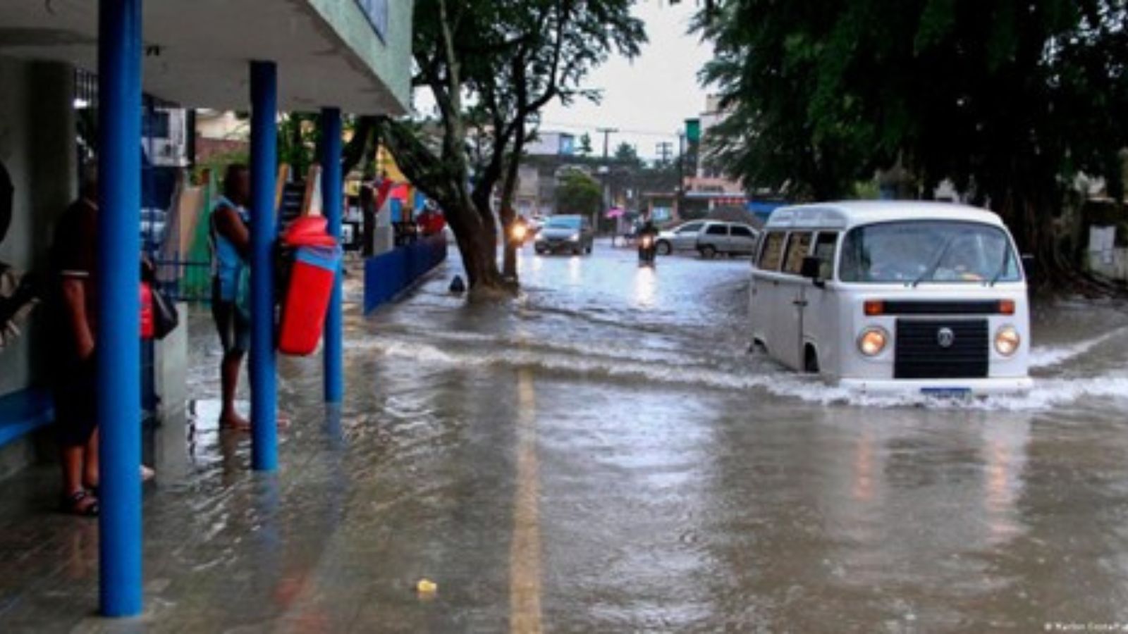
A heavy rainfall warning remains in effect through Wednesday, 11 February, with moderate-to-high severity anticipated. Forecast models indicate 48–96 hours of persistent rainfall, capable of generating localized flash flooding, landslides, power outages, and temporary transport disruption. While timing confidence is high, mesoscale variability limits precision regarding specific flood footprints. Elevated soil saturation increases the probability of runoff-related impacts and short-notice municipal emergency declarations.
- Event Date: 11 February
- Location: Federal District, Roraima, Amapá, Paraná, Rio de Janeiro, São Paulo, Espírito Santo, Bahia, Piauí, Mato Grosso do Sul, Mato Grosso, Rondônia, Amazonas, Acre, Tocantins, Maranhão, Pará, Minas Gerais, Goiás, Brazil
- Risk Category: Environment
- Severity Level: 4 / 5
- Confidence Score: 80 %
Operational Context
Brazil’s February rainy season frequently produces intense convective systems affecting central and northern states, often extending into southeastern metropolitan corridors. Historical heavy rainfall events during this period have triggered flash floods, urban drainage overflow, landslides in hilly municipalities, and riverine surges in secondary basins. Repeated advisories earlier in February have elevated antecedent soil moisture across several states, increasing runoff velocity and slope instability risks. Municipal Defesa Civil agencies typically activate alert systems, while transport authorities implement precautionary advisories and localized road restrictions. Given the geographic spread—from the Federal District and Goiás corridor to Rio de Janeiro, São Paulo, Amazonas, and Pará—the operational footprint is broad, amplifying exposure across logistics networks and densely populated urban centres.
Known Hotspots & Sensitive Zones
- High-impact zones: Goiás (including Goiânia and Pirenópolis), Federal District region near Brasília, and low-lying neighborhoods in Rio de Janeiro and São Paulo prone to urban flooding. Small river basins and hilly municipalities face heightened landslide risk.
- Medium-impact areas: Mato Grosso, Mato Grosso do Sul, Minas Gerais, and Paraná, where heavy rainfall may strain drainage systems and secondary road infrastructure.
- Low-impact areas: Northern states including Roraima and Amapá, where impacts are expected to remain localized unless convective clusters intensify.
Seasonal recurrence patterns show February as a peak period for heavy rainfall and flood risk across central Brazil.
Impact on Transportation & Services
Flooded urban streets and debris accumulation may lead to temporary road closures, particularly along BR-060 and key state connectors. Intercity bus services may experience delays, and regional airports could face short-term operational disruptions during intense convective bursts. Urban public transport in Goiânia and Brasília is vulnerable to temporary suspension. Power outages from fallen trees and transformer damage remain probable, potentially affecting communications and digital services in isolated pockets. Businesses may encounter workforce absenteeism, restricted site access, and delays in first- and last-mile logistics.
Recommended Action
- Organizations should activate rainfall response protocols, conduct site-level drainage inspections, secure outdoor assets, and verify backup power readiness for at least 72 hours.
- Logistics teams should pre-identify alternative routing and maintain real-time monitoring of municipal road advisories.
- Cross-functional incident coordination cells are advised to streamline communications and workforce accountability.
- Engagement with Defesa Civil, state emergency management agencies, and utility providers is recommended.
- Long-term strategies should incorporate flood risk mapping, supply chain diversification, and enhanced early warning integration.
Multi-Dimensional Impact
Increased demand on emergency services and municipal resources may delay response times for unrelated incidents, while localized displacement could strain community shelters and public services.
Emergency Contacts
- Emergency Number (Police/Ambulance): 190/192
Situational Outlook
The most probable trajectory over the next 72 hours involves persistent heavy rainfall with localized flooding, short-term transport disruption, and intermittent power outages across central and southeastern states. A moderate escalation scenario could see organized convective clusters intensify rainfall over saturated catchments, producing wider urban and riverine flooding and multi-hour road closures. Severe escalation, though less likely, would involve prolonged rainfall episodes, extended infrastructure outages, and formal emergency declarations. Overall, impacts are expected to remain regionally concentrated but operationally significant.
Strategic Takeaway
The heavy rainfall warning represents a high-impact seasonal hazard with broad geographic exposure. Elevated soil saturation and urban density increase vulnerability to flash floods and landslides. Businesses should prioritize proactive flood risk mitigation, transport contingency planning, and infrastructure resilience. Stay ahead of operational risks with real-time alerts, scenario modeling, and expert advisories with datasurfr’s Predict. Start your 14-day free trial of Datasurfr’s Risk Intelligence Platform today.


