Operational Context
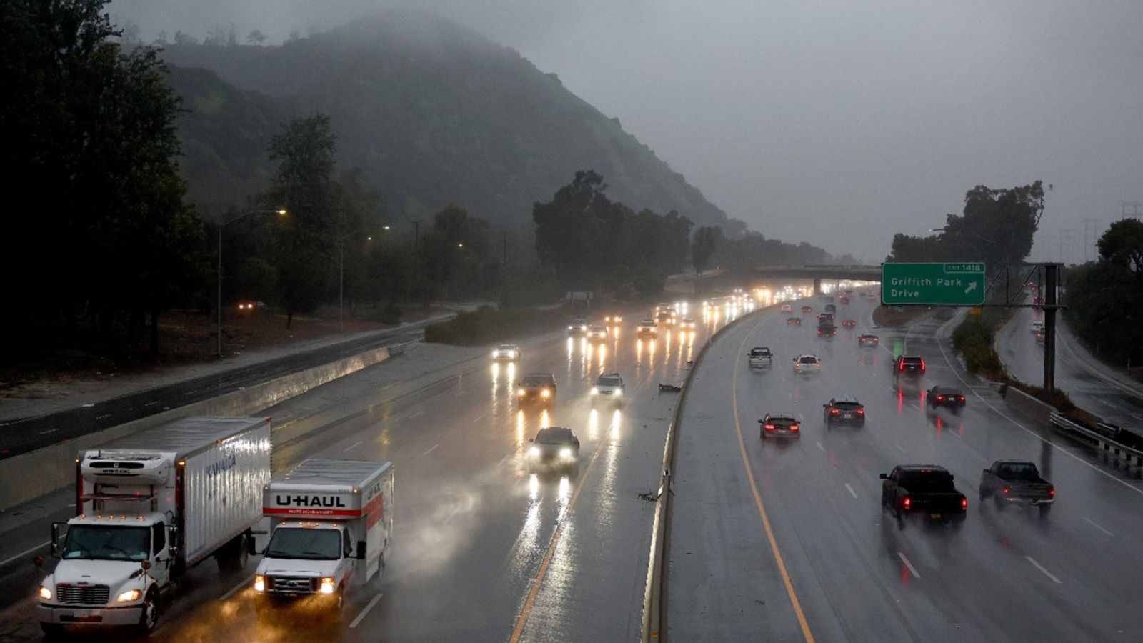
Santa Clarita Valley experiences periodic seasonal storms that generate urban flooding, debris flows and temporary transportation disruption, particularly along canyon corridors and major arterials. Facilities, residential communities and logistics operations in low-lying or wildfire-affected zones remain vulnerable to runoff, drainage overload and short-duration utility outages. Organizations operating across Valencia, Newhall, Canyon Country and adjacent foothill communities routinely activate preparedness protocols during similar events.
Executive Summary
- Event Date: 20 November 2025
- Location: Santa Clarita Valley, California, United States
- Risk Category: Environment
- Severity Level: 3 / 5
- Confidence Score: 75 %
Forecast models indicate a 12–24-hour period of rain and gusty winds across the Santa Clarita Valley on 20 November. Anticipated impacts include localized flooding, ponding on major routes, minor debris flows on erodible slopes and intermittent power interruptions. Severity is moderate, with manageable disruption expected. Confidence is supported by consistent National Weather Service guidance and recent storm analogs.
Known Hotspots & Sensitive Zones
High-Impact Zones: Bouquet Canyon, San Francisquito Creek corridor, Newhall Pass, Soledad Canyon Road, foothill communities near Angeles National Forest – prone to flooding, debris flows and runoff accumulation.
Medium-Impact Zones: Valencia, Newhall, Canyon Country, Golden Valley Road, Newhall Ranch Road – may experience ponding, reduced visibility and traffic delays.
Low-Impact Zones: Elevated residential zones and business parks with newer drainage infrastructure; minimal flooding risk but possible short-term power fluctuations.
Impact on Transportation & Services
Heavy rain may slow commutes on SR-14, I-5 (Grapevine), Newhall Ranch Road and Soledad Canyon Road. Metrolink may impose slow orders during peak rainfall. Local transit services could reroute around flooded sections. Businesses may experience delayed employee arrivals, logistical slowdowns and intermittent connectivity issues if power lines are affected.
Recommended Action
Immediate Measures:
- Activate storm-response leads for Operations, Facilities, HR and Security.
- Implement remote-work authorization for non-essential staff.
- Relocate vehicles and equipment to higher ground; deploy sandbags and inspect drainage points.
Strategic Measures:
- Enhance facility hardening in known flood zones.
- Review continuity plans for logistics routed through I-5/SR-14.
- Use emergency coordination channels and real-time alerts (NWS, CAL FIRE, Caltrans QuickMap).
Multi-Dimensional Impact
Localized power outages, transport delays and minor debris flows may affect routine operations. Regional storm systems could increase delays at nearby airports and disrupt event-related logistics across greater Los Angeles.
Emergency Contacts
- NWS Los Angeles/Oxnard: weather.gov/lox
- Caltrans QuickMap (Road Status): quickmap.dot.ca.gov/
- Los Angeles County Public Works (Flood and debris flow updates): dpw.lacounty.gov/
- Local Utilities (SoCal Edison): sce.com
- Santa Clarita Emergency Services: santaclarita.gov/emergency-management/
Situational Outlook
Baseline scenario suggests manageable flooding and short-term travel delays. Moderate escalation may result in multi-hour outages and temporary canyon-road closures. Severe outcomes remain unlikely but could involve >3 inches of rainfall, significant runoff and extended closures on SR-14 or I-5.
Strategic Takeaway
The storm’s trajectory indicates moderate operational risk with limited long-term implications. Businesses should maintain readiness, monitor real-time updates and ensure continuity plans are active. Early warning tools and platforms such as MitKat’s Datasurfr can significantly enhance forecasting, preparedness and response effectiveness. Stay ahead of operational risks with real-time alerts, scenario modeling, and expert advisories with datasurfr’s Predict. Start your 14-day free trial of Datasurfr’s Risk Intelligence Platform today.
