Operational Context
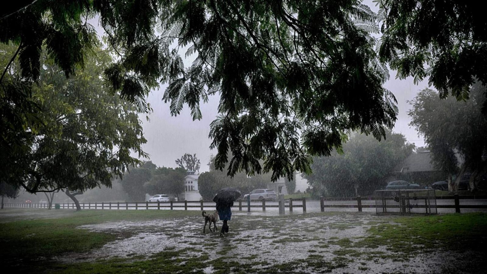
California is bracing for a significant period of heavy rainfall and potential severe weather through 16 November with widespread evacuation warnings already in effect, particularly for areas recently impacted by wildfires. The current incident is assessed to have a likely duration window of the next 3-5 days, peaking over the weekend. The severity of impact is justified by the pre-emptive evacuation warnings and the known vulnerability of burn scar areas to debris flows, which historically lead to substantial property damage and pose a threat to life. While not anticipated to be a statewide catastrophic event, localized severe impacts are highly probable. Proactive measures are critical for business continuity and community safety.
Executive Summary
- Event Date: 14 November 2025
- Location: California, Oregon, Washington, United States
- Risk Category: Environment
- Severity Level: 4 / 5
- Confidence Score: 95 %
Heavy rainfall is expected to persist across California through 16 November, prompting evacuation warnings, particularly in burn scar zones susceptible to debris flows. Historical data indicates high likelihood of localized flooding, mudslides, road closures, and utility outages. The event is forecast to span three to five days, with peak impact over the weekend.
Current Updates
Evacuation warnings remain active across multiple California counties. Rainfall intensity is increasing, creating saturated soils and heightened flash flood risk. Burn scar areas in the Santa Cruz Mountains, Southern California foothills, and Sierra Nevada slopes are being closely monitored for debris flow potential.
Known Hotspots & Sensitive Zones
High Impact Zones:
- Burn scar areas in Santa Cruz Mountains, Southern California canyons, Sierra Nevada foothills.
- Flood-prone coastal and low-lying urban zones.
Medium Impact Zones:
- Major transport corridors, including mountain passes and state routes near recent wildfire perimeters.
- Residential communities near rivers and streams.
Low Impact Zones:
- Inland areas with lower flood exposure but potential for utility outages.
- Recurrent early winter rainfall often triggers mudslides and runoff surges in post-wildfire terrain.
Impact on Transportation & Services
Flooding and debris flows may close state routes and local roads, including segments of Highway 1 and canyon roads. Public transport delays and flight disruptions are likely. Businesses face reduced accessibility due to hazardous travel conditions, and utilities may experience outages affecting operations, communication systems, and service delivery.
Recommended Action
- Implement remote work for non-essential personnel; confirm safe travel routes for essential staff.
- Secure facilities: elevate equipment, deploy sandbags, test generators, and waterproof critical areas.
- Communicate expected delays to clients and partners through multiple channels.
- Activate an incident management team to track weather bulletins and evacuation advisories.
- Verify backup systems and remote work capabilities to ensure operational continuity.
Multi-Dimensional Impact
Severe weather may reduce participation in the statewide University of California workers’ strike on 17–18 November and disrupt campus operations. Resources may be reallocated towards storm response, impacting public visibility of unrelated mobilizations.
Emergency & Monitoring Channels
- California Emergency Services: 911
- Caltrans Road Conditions: 1-800-427-ROAD (7623)
- NOAA Alerts: weather.gov
Situational Outlook
Over the next several days, persistent rainfall will continue to elevate risks of flooding, mudslides, and utility interruptions. The most likely scenario involves localized but significant disruption lasting until 16 November, with gradual improvement thereafter. A moderate escalation could lead to expanded road closures, prolonged outages, and broader evacuations. A severe scenario, though less probable, could involve an intensified atmospheric river, resulting in widespread infrastructure damage and extended recovery periods. Businesses should anticipate intermittent disruptions and maintain readiness for rapid escalation.
Strategic Takeaway
The event presents a high-impact but time-bound environmental threat. Monitoring real-time alerts, ensuring remote operational readiness, and strengthening emergency preparedness are essential.
Stay ahead of operational risks with real-time alerts, scenario modeling, and expert advisories with datasurfr’s Predict. Start your 14-day free trial of Datasurfr’s Risk Intelligence Platform today.
