Executive Summary for the Elevated Tornado Risk in Oklahoma
An elevated tornado threat is active across central and eastern Oklahoma, with discrete supercells capable of producing damaging winds and EF2+ tornadoes through 06 March. Peak risk is expected during late afternoon and overnight convective cycles. Transportation corridors, utilities, distribution centres, and residential communities face localized but severe disruption. Preparedness and sheltering measures are critical.
- Event Date: 05 March
- Location: Oklahoma (central and eastern), with potential spillover into Missouri and Arkansas
- Risk Category: Natural Disasters
- Severity Level: 4 / 5
- Confidence Score: 78 %
Operational Context
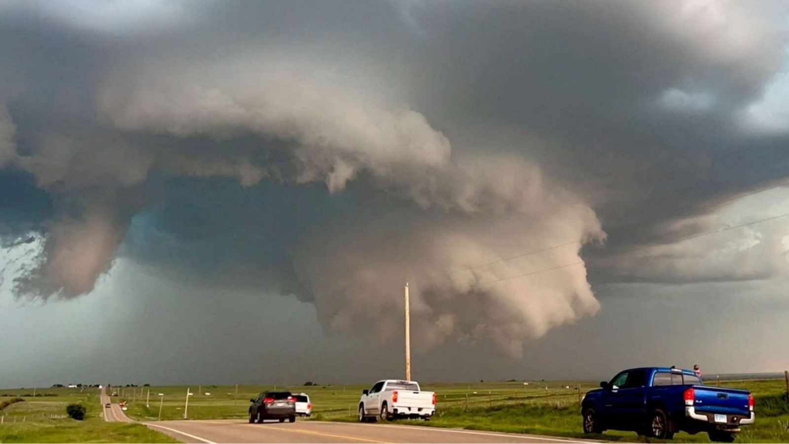
A volatile severe weather system is forecast to impact central and eastern Oklahoma from 05 March through 06 March, with a 48–72-hour window of heightened tornado risk. Forecast models indicate strong wind shear and atmospheric instability conducive to supercell development and potential EF2+ tornadoes. Historical outbreaks between 2023 and 2026 in Moore, Purcell, and Shawnee demonstrate similar synoptic patterns producing damaging, long-track tornadoes. The threat is concentrated along the I-35 and I-44 corridors, extending into parts of Missouri and Arkansas as the system progresses eastward.
Known Hotspots & Sensitive Zones
High Impact Zones:
- I-35 corridor (Oklahoma City–Purcell)
- I-40 east of Oklahoma City
- US-77 and US-177 near Shawnee
- Distribution centres and fuel terminals along I-35
Medium Impact Zones:
- Southern Oklahoma City metro
- Cleveland and Pottawatomie counties
Low Impact Zones:
- Peripheral rural counties outside primary storm tracks
Recurring spring severe weather patterns increase exposure in mobile home parks, schools, hospitals, and warehouse clusters historically affected by EF2 tornado damage.
Impact on Transportation & Services
Temporary closures are likely along I-35, I-40, and adjacent state routes due to debris, flooding, or emergency response activity. Freight operations may experience rerouting and short-term supply chain disruption. Passenger rail slow orders and regional bus suspensions are possible in directly impacted counties. Utility damage, including downed power lines and cell towers, could lead to localized power outages and communication disruptions lasting several hours to days, affecting digital services and warehouse operations.
Recommended Action
Immediate Measures:
- Activate tornado response protocols, confirm shelter-in-place procedures, secure hazardous materials, and suspend non-essential travel.
- Pre-position backup generators, verify UPS systems, and prepare alternate routing for freight.
- Maintain real-time monitoring via NOAA/NWS alerts and coordinate with county emergency management agencies.
Strategic Measures:
- Strengthen severe weather preparedness plans, conduct quarterly shelter drills, harden warehouse structures, and integrate automated alerting platforms to enhance early warning and business continuity.
Multi-Dimensional Impact
No concurrent unrelated events identified; cascading impacts remain localized to weather-driven disruption.
Emergency Contacts
- Emergency Services: 911
- National Weather Service: weather.gov/
Situational Outlook
Over the next 24–72 hours, scattered to numerous supercells are likely to produce localized tornadoes and damaging winds, primarily along the I-35 and I-40 corridors. While most impacts may resolve within three days, the probability of one or two long-track tornadoes striking populated or logistics-heavy areas remains credible. A lower-probability but high-impact outbreak scenario involving EF3+ tornadoes could generate multi-day power outages and sustained infrastructure disruption.
Strategic Takeaway
The current severe weather pattern presents a substantial tornado risk with concentrated exposure across critical transportation and logistics corridors. Businesses and public agencies should prioritize life safety, rapid decision-making, and redundant operational capacity. Investment in structured early warning systems and integrated risk intelligence platforms such as MitKat’s Datasurfr will remain essential to strengthening regional disaster resilience and continuity planning.
Stay ahead of operational risks with real-time alerts, scenario modeling, and expert advisories with datasurfr’s Predict. Start your 14-day free trial of Datasurfr’s Risk Intelligence Platform today.
