What are Typhoons Nolo and Koguma and where are they?
The Japanese Meteorological Agency (JMA) reports that Typhoon Nolo was located east-northeast of the Ogasawara Islands over the Pacific Ocean at 1500 hours local time on 09 October 2026. Nolo was moving west-northwest at approximately 20 kilometres per hour (kmph), with maximum sustained winds of 23 metres per second (m/s), and gusts reaching 35 m/s. Typhoon Koguma was located near Minamitorishima, at 19.3 degrees north, 155.6 degrees east, as of 1500 hours local time on 09 October. Koguma was moving northwest at approximately 25 kmph with maximum sustained winds of 140 kmph and gusts reaching 195 kmph.
What is the forecast for Typhoon Nolo?
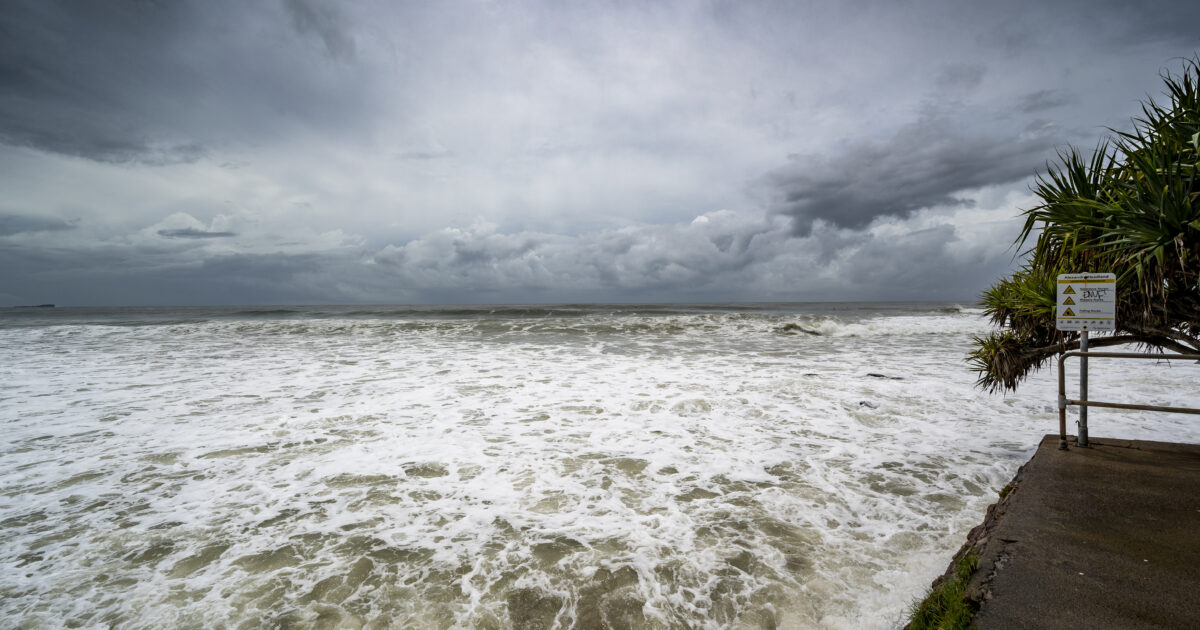
On 09 October, Nolo is forecast to continue heading northwest towards the Ogasawara Islands at 20 kmph with a likelihood of slowing down the following day. On 10 October, Nolo is forecast to continue northwest, gradually reducing speed to 15 kmph as it approaches the Ogasawara Islands. High wave warnings are in effect, with waves between 03–04 metres expected near the Ogasawara Islands and parts of the Japanese mainland’s coastline including some islands of Tokyo and Chiba. On 11 October, Nolo is forecast to curve north and start heading north-northwest away from the Japanese mainland while picking up speed to 20 kmph with sustained winds of 20 m/s and gusts reaching 30 m/s. The Ogasawara Islands are likely to experience coastal rainfall, very strong winds, potential storm surges, rough seas and high wave warnings. Heavy rainfall, thunderstorm, gale and high wave warnings are likely to extend to some Tokyo Islands and parts of Coastal Chiba and Ibaraki.
What is the forecast for Typhoon Koguma?
From 09–10 October, Koguma is forecast to continue moving west-northwestward while intensifying. The system is forecast to reach very strong typhoon intensity by 10 October, with maximum sustained winds reaching approximately 157 kmph and gusts reaching 220 kmph. From 10–11 October, Koguma is forecast to maintain very strong typhoon intensity while gradually decelerating and curving northwestward towards waters east of the Ogasawara Islands. On 12 October, Koguma is forecast to turn north-northeastwards over the open North Pacific and gradually weaken as it moves over cooler waters.
What are the impacts on maritime, aviation, and other sectors?
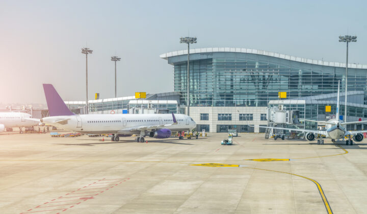
Due to Typhoons Nolo and Koguma, waters east and southeast of Japan are likely to experience strong winds, very rough to extremely rough seas and hazardous marine conditions through 12 October. Koguma likely poses the greater operational risk, with its storm-force wind field expected to expand significantly as the system strengthens. The storm-force wind area is forecast to extend to approximately 155 kilometres by late 09 October, increasing to approximately 190 kilometres on 10 October. Maritime transport and freight operations across the western Pacific may face disruptions due to strong winds, high waves and deteriorating sea conditions. Vessels operating along trans-Pacific shipping routes may need to adjust routes or schedules. Air transport operations may face limited direct disruption, as both systems are forecast to remain offshore. However, changes in projected tracks may affect flight routes across the western Pacific. Other disruptions may include hampered telecommunications from power outages in storm-affected rural and urban areas—especially the Tokyo and Ogasawara Islands. Disruptions to maritime activities like shipping and logistics, commercial fishing and other related industries can be anticipated. Coastal infrastructure damage around the Ogasawara Islands and other areas proximal to the typhoon cannot be ruled out.
What should organisations and individuals do to prepare?
Avoid non-essential travel to affected areas like the Ogasawara Islands, and parts of eastern coastal Japan through 09–12 October. Maintain contingency plans for port, aviation, and coastal logistics schedules to mitigate risks associated with Nolo and Koguma. Businesses with maritime, freight and offshore operations across the northwest and north Pacific are advised to monitor updated forecasts and maintain contingency arrangements for potential weather-related disruptions. Avoid flooded, debris-covered, or landslide-prone roads. Residents, visitors and staff in coastal, low-lying, or flood-prone areas should keep essential supplies such as water, food, medicines, flashlights and backup power ready. Monitor official websites of national meteorological agencies to remain abreast of storm-related updates and associated weather warnings. Monitor official channels of airports and airlines to remain abreast of any flight cancellations and delays. Emergency contacts: JMA: https://www.jma.go.jp/jma/indexe.html. Japan Visitor’s Hotline: https://www.japan.travel/ar/plan/hotline/. National Emergency Hotline (Japan): Japanese Coast Guard/Maritime Accidents: 118. Fire and Ambulance: 119.
Frequently asked questions
When were Typhoons Nolo and Koguma active?
As of 09 October 2026, both typhoons were active in the western Pacific, with impacts expected through 12 October 2026.
Which typhoon poses the greater risk?
Typhoon Koguma poses the greater operational risk due to its intensification to very strong typhoon intensity and expanding storm-force wind field.
What are the emergency contact numbers for Japan?
Japanese Coast Guard/Maritime Accidents: 118. Fire and Ambulance: 119. JMA: https://www.jma.go.jp/jma/indexe.html.
Download the full advisory now
datasurfr’s Risk Flash on Typhoons Nolo and Koguma carries the complete forecast, impact assessment, and a detailed contacts directory. Download the full advisory now to brief your travel and continuity teams.
Filed under: APACRegional Risk Reviews