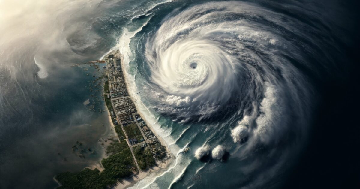
Where is Typhoon Choi Wan now and how strong will it become?
As of 1 October, 1500 hours local time, Typhoon Choi Wan 2026 was located at 16.5 degrees north, 146.7 degrees east over the Mariana Islands, moving westward at 25 kilometres per hour with a central pressure of 994 hectopascals. Its maximum winds were 20 metres per second, with maximum instantaneous winds of 30 metres per second, and its strong wind area extended about 330 kilometres from the centre. Based on the current forecast, Choi Wan is expected to strengthen into a Strong Typhoon by 2 October before intensifying further as it moves northwards towards the waters near the Ogasawara Islands. It is forecast to reach Very Strong Typhoon intensity by 4 October, with maximum winds of 45 metres per second and maximum instantaneous winds of 60 metres per second.
What is the forecast track for Typhoon Choi Wan?
Choi Wan is forecast to move slowly west-northwest towards the Mariana Islands on 1–2 October before gradually turning northwards, with maximum winds rising to 30 metres per second by 2 October. On 3 October it is expected to move north-northeast at about 10 kilometres per hour, with maximum winds of 35 metres per second and instantaneous winds of 50 metres per second. On 4 October it should head north towards the waters near the Ogasawara Islands as a Very Strong Typhoon, with maximum winds of 45 metres per second and instantaneous winds of 60 metres per second. On 5 October it is forecast to continue north-northwest at about 15 kilometres per hour, keeping Very Strong intensity as it approaches the wider waters east of Japan. By 6 October it is expected to be near 30.3 degrees north, 144.3 degrees east, moving towards eastern Japan with maximum winds of 40 metres per second. The storm warning area is forecast to expand to about 430 kilometres near the Ogasawara Islands from 4 October and about 540 kilometres by 6 October. The projected track remains subject to change.
Which islands and regions are most at risk?
The Mariana Islands face the earliest and most direct impact between 1 and 3 October, with heavy rainfall, strong winds and thunderstorms likely, and rainfall potentially causing flash flooding in low-lying, poorly drained and urban areas. Northern and western facing reefs may be affected by increasing surf, coastal inundation and erosion as Choi Wan strengthens. The Ogasawara Islands become increasingly vulnerable from 4 October as the typhoon approaches the surrounding waters, with very strong winds and an expanding storm warning area. Eastern Japan could be affected on 5–6 October as the system moves north towards the waters east of Japan, although the projected path and intensity remain subject to change as the system evolves. Strong to very strong winds are forecast across the waters near the Ogasawara Islands from 4 October, and by 5–6 October strong winds are expected to extend towards the waters east of Japan, with the storm warning area reaching approximately 540 kilometres by 6 October.
What are the business continuity risks?
Air and maritime transport face the greatest disruption, including flight delays or cancellations, ferry service suspensions and restrictions on maritime activity as strong winds, heavy rainfall, increasing surf and hazardous marine conditions develop across the affected islands. Major road networks and local logistics operations may experience temporary disruption from flooding, reduced visibility and debris, particularly in areas receiving prolonged or intense rainfall, while excessive runoff may affect rivers, streams and other flood-prone locations. Coastal operations on the Mariana Islands may be affected by surf, inundation and erosion. Further north, deteriorating weather around the Ogasawara Islands and the waters east of Japan could affect maritime connectivity and freight operations, with vessels and freight services across the western Pacific exposed to the expanding storm warning area. Flash flooding in low-lying, poorly drained and urban areas can compound these delays.
What should organisations and individuals do to prepare?
Businesses operating across the Mariana Islands and Ogasawara Islands should monitor the storm’s movement and maintain flexible travel arrangements as Choi Wan intensifies. Those operating via airports or maritime routes in potentially affected areas should reconfirm transport schedules before departure and maintain contingency options for cancellations or delays. Organisations operating vessels or freight services across the western Pacific should monitor the expanding storm warning area and review routes where necessary to minimise exposure to adverse weather conditions. Everyone in or travelling to the affected areas should follow Japan Meteorological Agency (JMA) updates, because the projected track and intensity can change, and should know the national emergency numbers: Disaster Message Dial 171, police 110, and fire and ambulance 119.
Frequently asked questions
When will Typhoon Choi Wan reach Very Strong intensity?
The forecast has Choi Wan becoming a Strong Typhoon by 2 October and reaching Very Strong Typhoon intensity by 4 October, with maximum winds of 45 metres per second.
Will Choi Wan affect flights and shipping?
Yes. Flight delays or cancellations, ferry suspensions and maritime restrictions are likely across the affected islands, and freight and vessel operations across the western Pacific may be affected as the storm warning area expands.
What are the emergency contact numbers in Japan?
Disaster Message Dial: 171. Police: 110. Fire and ambulance: 119. For forecasts and warnings, check the Japan Meteorological Agency website at jma.go.jp.
Download the full Risk Flash now
datasurfr’s Risk Flash on Typhoon Choi Wan 2026 carries the JMA forecast track map, the complete day-by-day cyclone track, high-impact zones, impact analysis and recommendations. Download the full Risk Flash now to brief your travel, maritime and continuity teams.
Filed under: APACRegional Risk Reviews