What is Severe Tropical Cyclone Narelle and when will it make landfall?
Severe Tropical Cyclone Narelle (34U) is a Category 5 tropical cyclone currently impacting Far North Queensland. As of 1900 hours local time on Thursday, 19 March, the centre was estimated to be approximately 225 km north-northeast of Cooktown and 300 km east of Coen, moving westward at around 18 km/h towards the Cape York Peninsula. The system is packing maximum sustained winds of 220 km/h near the centre with wind gusts up to 315 km/h. Narelle is forecast to make landfall between Lockhart River and Cape Melville on Friday, 20 March, in the morning, potentially at Category 5 intensity, bringing severe conditions to coastal and inland areas. Following landfall, the system is expected to weaken while moving inland across Cape York Peninsula, though damaging winds and heavy rainfall are likely to persist. The cyclone is then projected to move into the Gulf of Carpentaria, where it may re-intensify before impacting the eastern Northern Territory from late Saturday, 21 March.
Which areas in Queensland and Northern Territory are most affected?
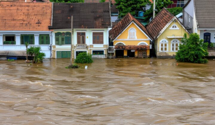
In Queensland, very destructive wind gusts exceeding 250 km/h are possible near the centre as it crosses the coast on Friday, with severe winds extending inland. Destructive wind gusts up to 160 km/h are likely between Lockhart River and Cape Flattery from Thursday night, with damaging winds extending across Cape York Peninsula on Friday. Gales with damaging wind gusts up to 120 km/h are likely across northern and central parts of Cape York Peninsula from Thursday night, extending further south depending on the track. Heavy rainfall may lead to flash flooding, particularly between Cape Melville and Cape Tribulation, including inland areas west of Coen on Friday. Tides may rise above normal along coastal areas between Coen and Cape Tribulation on Friday, with large waves increasing the risk of minor flooding in low-lying areas. Tides in Princess Charlotte Bay may rise significantly above normal levels, with damaging waves and a risk of dangerous storm tide conditions during Friday. Elevated tides may continue across the Gulf of Carpentaria between Weipa and Kowanyama from Friday into Saturday, with minor coastal flooding possible. In the Northern Territory, gales may develop between Port McArthur and Nhlunubyu from Saturday afternoon and extend inland to areas including Ngukurr by Saturday night. Very destructive winds may occur near the cyclone centre during this period. Heavy rainfall may lead to flash flooding across coastal and adjacent inland areas of the eastern Top End from late Saturday. Tides may rise above normal between Nhlunubyu and Port McArthur on Saturday and Sunday, with large waves potentially causing minor flooding in low-lying coastal areas.
What are the coastal and marine hazards?
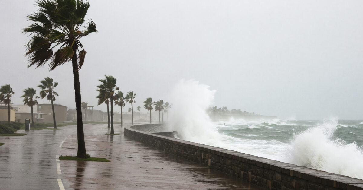
Large waves and very rough seas are expected along the Cape York Peninsula coast, particularly between Lockhart River and Cape Tribulation, as Narelle approaches and crosses the coastline. Abnormally high tides and dangerous storm surge conditions are likely near the cyclone centre, especially around Princess Charlotte Bay, which may lead to coastal inundation of low-lying areas. Minor to moderate coastal flooding is possible due to large waves and elevated sea levels, particularly along exposed coastal regions between Coen and Cape Tribulation.
What are the business continuity risks?
The principal operational risks include disruption to road, air, and coastal connectivity due to strong winds, heavy rainfall, and flooding. Businesses in Far North Queensland and the eastern Northern Territory should anticipate delays in logistics, employee movement, and supply chains. Power outages and communication disruptions are likely, requiring backup power arrangements and communication protocols. Critical infrastructure, equipment, and loose outdoor items should be secured to prevent damage. Organisations with facilities in cyclone-prone and coastal areas should activate contingency and business continuity measures, including evacuation plans if necessary. The tourism and transport sectors may face significant disruptions, with flight cancellations and road closures expected.
What should organisations and individuals do to prepare?
Organisations should remain abreast of updates and warnings issued by the Bureau of Meteorology (BOM) and local disaster management authorities for real-time cyclone track and impact developments. Secure loose outdoor items, critical infrastructure, and equipment, particularly across cyclone-prone and coastal areas. Monitor transport conditions, as strong winds, heavy rainfall, and flooding may disrupt road, air, and coastal connectivity. Activate contingency and business continuity measures, including backup power arrangements and communication protocols. Take precautionary measures against storm surge and tidal flooding, especially in coastal and low-lying areas. Individuals should prepare an emergency kit with water, non-perishable food, medications, and important documents. Stay indoors during the cyclone and avoid driving through flooded roads. Follow instructions from local authorities and be ready to evacuate if advised.
Frequently asked questions
When will Cyclone Narelle make landfall?
Severe Tropical Cyclone Narelle is forecast to make landfall between Lockhart River and Cape Melville on Friday, 20 March, in the morning, potentially at Category 5 intensity.
What are the emergency contact numbers for Australia?
National Emergency Hotline: 000. State Emergency Service (SES – Queensland): 132 500. Northern Territory Emergency Service (NTES): 132 500. Bureau of Meteorology (BOM): +61 1300 659 210.
What areas are under threat from Cyclone Narelle?
Far North Queensland, particularly the Cape York Peninsula between Lockhart River and Cape Melville, and later the eastern Northern Territory, including areas between Port McArthur and Nhlunubyu, and inland to Ngukurr.
Download the full advisory now
datasurfr’s Special Advisory on Severe Tropical Cyclone Narelle (34U) carries the complete track maps, the full regulatory guidelines, and a detailed contacts directory. Download the full advisory now to brief your travel and continuity teams.
Filed under: EMEAThreat Intelligence Advisories