Operational Context
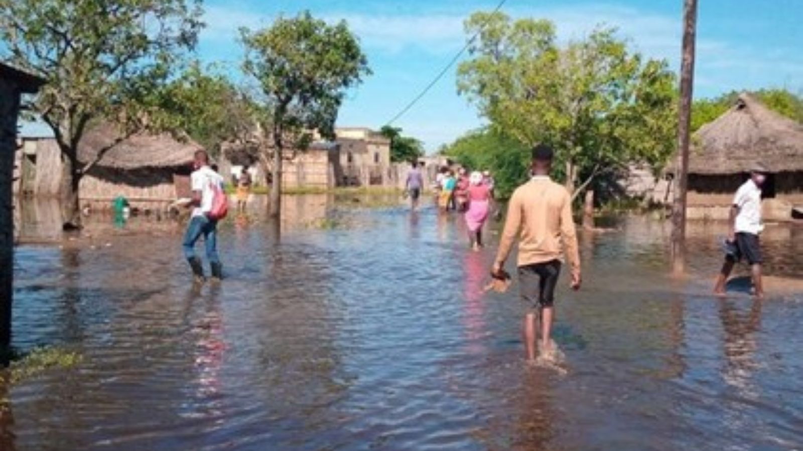
South Africa’s summer rainfall season regularly produces short-duration but intense convective storms, particularly across Limpopo and Mpumalanga. These provinces have a history of localized flash flooding linked to saturated soils, poor drainage in peri-urban and informal settlements, and rapid runoff from upland catchments. Orange-level warnings issued by the South African Weather Service (SAWS) typically indicate a credible risk of flooding that requires immediate preparedness and localized response rather than nationwide emergency measures.
Executive Summary
- Event Date: 12 January
- Location: Limpopo and Mpumalanga, including Collins Chabane and Bushbuckridge Local Municipalities, Mopani District Municipality
- Risk Category: Environment
- Severity Level: 3 / 5
- Confidence Score: 70 %
An Orange-level heavy rainfall warning is in effect until Tuesday, 13 January, for parts of Limpopo and Mpumalanga. Forecasts indicate intense convective downpours over a 24–72-hour window, with secondary impacts such as stream rises, slope instability and localized flooding persisting for up to seven days. The risk profile is characterized by high localized impacts, particularly for low-lying settlements, secondary roads and regional logistics routes, but a lower likelihood of widespread, long-duration riverine flooding. Anticipated impacts include short-notice evacuations, temporary road closures, utility interruptions and delays to agricultural and freight movements toward Gauteng.
Current Updates
SAWS has confirmed the Orange-level warning, citing thunderstorms, very heavy rainfall and elevated flood risk in poorly drained and low-lying areas. Provincial and municipal emergency services have been placed on alert, and residents in flood-prone zones have been advised to avoid non-essential travel and monitor municipal communication channels. No national disaster declaration has been announced at the time of reporting.
Known Hotspots & Sensitive Zones
- High Impact Zones: Informal settlements near drainage lines around Polokwane and Mbombela, low-lying agricultural areas in the Lowveld, and secondary road networks crossing tributaries of the Olifants and Letaba river systems.
- Medium Impact Zones: Regional freight corridors linking Mpumalanga and Limpopo to Gauteng, where temporary closures are likely.
- Low Impact Zones: Elevated urban cores with established drainage infrastructure.
Flood risk in these areas is recurrent during January due to cumulative rainfall and soil saturation.
Impact on Transportation & Services
Transport disruption is expected primarily on secondary and regional roads such as the R36, R37 and R71, with low-level bridges and causeways particularly vulnerable. Primary national routes are likely to remain operational but may experience delays. Bus and minibus taxi services may suspend routes in flooded areas, affecting workforce mobility. Utilities face moderate risk of localized power and telecom outages from downed lines, while business operations may be disrupted by access constraints, staff absenteeism and temporary site closures.
Recommended Action
- Organizations should activate localized incident response arrangements, suspend non-critical travel in Orange-warning zones and prioritize employee safety through remote work and welfare check-ins.
- Facilities in flood-prone areas should secure ground-level assets, elevate critical equipment and reroute logistics to unaffected corridors.
- Coordination with municipal disaster management, emergency services and insurers is advised.
- Longer-term measures include reviewing drainage resilience, site flood defenses and early-warning integration with SAWS alerts.
Multi-Dimensional Impact
No concurrent unrelated events have been identified; however, prolonged rainfall could compound erosion, sanitation failures and health risks in vulnerable communities if flooding persists beyond the warning window.
Emergency Contacts
- South Africa Emergency Services: 112
- SAWS (Official weather alerts and updates): weathersa.co.za/
Situational Outlook
The most likely scenario involves localized flash flooding with short-term disruptions over the next 72 hours, followed by gradual recovery. A moderate escalation remains possible if rainfall persists and catchments saturate further, while severe, region-wide flooding remains a lower-probability outcome.
Strategic Takeaway
The current flood warning represents a manageable but time-sensitive environmental risk. Proactive monitoring, rapid local response and clear communication are essential to limit impacts. Businesses and authorities should leverage early-warning and situational intelligence platforms such as MitKat’s Datasurfr to strengthen preparedness, protect people and maintain continuity during the active risk window.
Stay ahead of operational risks with real-time alerts, scenario modeling, and expert advisories with datasurfr’s Predict. Start your 14-day free trial of Datasurfr’s Risk Intelligence Platform today.
