Operational Context
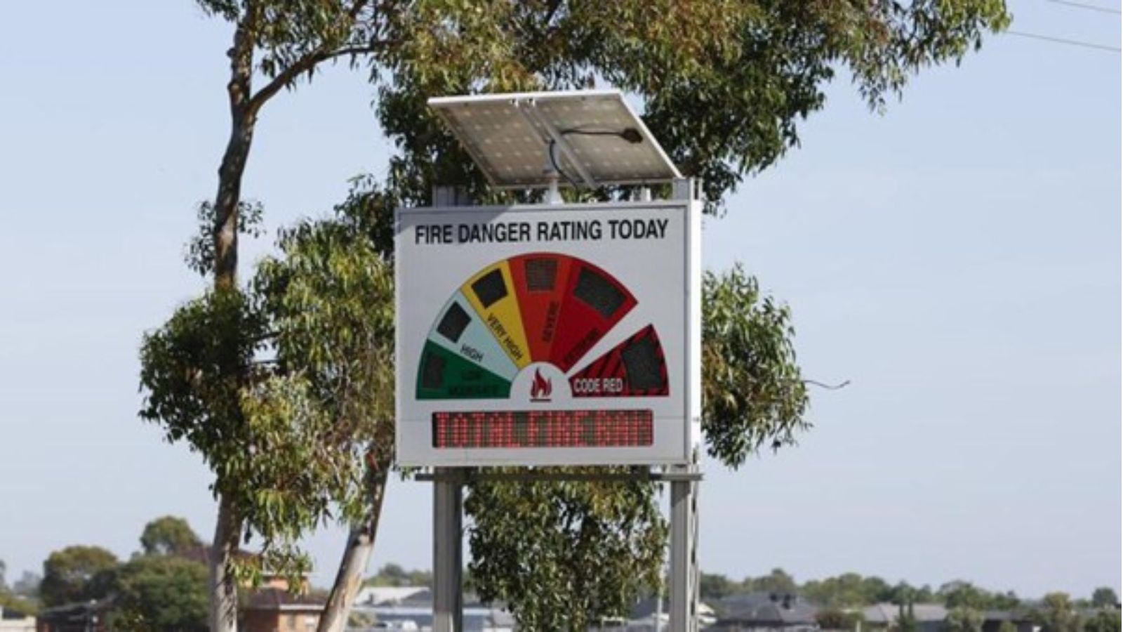
Victoria’s summer fire season routinely brings periods of extreme fire weather, particularly across the Mallee, Northern Country, North Central, and North East districts. These regions combine dry fuels, agricultural landscapes, and exposed transport and utility corridors, making them vulnerable to fast-moving grass and scrub fires. Total Fire Bans are a key preventative control, signalling heightened ignition risk and triggering coordinated readiness across emergency services, businesses, and communities.
Executive Summary
- Event Date: 08 January
- Location: Northern and north-west Victoria, Australia
- Risk Category: Natural Disasters
- Severity Level: 3 / 5
- Confidence Score: 75 %
A Total Fire Ban has been declared across large parts of Victoria amid forecast hot, dry, and gusty conditions typical of early January. The primary risk stems from rapid fire spread potential driven by low fuel moisture and strong winds. While no major fires were reported at the time of declaration, historical precedent indicates that any ignition could escalate quickly, threatening rural communities, linear infrastructure, and agricultural assets. The overall risk is assessed as moderate, with a credible potential for escalation should ignitions occur near populated or heavily vegetated areas.
Current Updates
The Country Fire Authority has prohibited high-risk activities across affected districts for 08 January and placed crews and aviation resources on heightened readiness. Authorities continue to urge strict compliance with ban conditions and close monitoring of VicEmergency updates as hot and dry weather persists over the next 24–72 hours.
Known Hotspots & Sensitive Zones
- High Impact Zones: Mallee and Northern Country districts, with particular sensitivity around Mildura, Swan Hill, Kerang, Bendigo, Wangaratta, and Wodonga.
- Medium Impact Zones: Agricultural belts and transport corridors linking regional towns.
- Low Impact Zones: More urbanised centres with reduced fuel loads.
January historically represents a peak risk period, with recurrent grassfire incidents under similar conditions.
Impact on Transportation & Services
Bushfire threat can trigger rapid road closures on major regional routes such as the Calder and Hume highways, disrupting freight and commuter movement. Regional rail services may face temporary suspensions, and smoke can affect visibility and aviation operations at smaller airports. Utilities, particularly overhead power and telecommunications infrastructure, are vulnerable to fire damage or precautionary shutdowns, potentially interrupting business operations and digital connectivity.
Recommended Action
- Organisations should immediately suspend all hot works and non-essential outdoor activities in affected districts, secure flammable materials, and implement flexible staffing or remote work arrangements.
- Logistics operators should activate rerouting plans and communicate revised delivery timelines.
- Close coordination with the CFA, VicEmergency, local councils, and emergency services is essential, alongside continuous monitoring through official alert portals and internal risk intelligence tools.
Multi-Dimensional Impact
Fire response demands may strain emergency resources already engaged in seasonal recovery activities, increasing the risk of delayed response if multiple incidents occur simultaneously.
Emergency Contacts
- Emergency Services: 000
- VicEmergency Alerts: emergency.vic.gov.au
- Country Fire Authority: cfa.vic.gov.au
- VicTraffic: traffic.vicroads.vic.gov.au
Situational Outlook
The most likely outlook over the next 48–96 hours is the absence of major ignitions, with the Total Fire Ban serving as a preventative measure under challenging weather conditions. A moderate escalation remains plausible if fires start near roads or town fringes, leading to localized evacuations and transport disruption, while a severe escalation involving large, fast-moving fires threatening multiple communities is a lower-probability but high-impact scenario.
Strategic Takeaway
The Total Fire Ban reflects a heightened but manageable bushfire risk across northern Victoria. Businesses and authorities should prioritise compliance, asset protection, and workforce safety while maintaining readiness for rapid escalation. Early-warning systems and preparedness platforms such as MitKat’s Datasurfr can strengthen situational awareness and support timely, risk-informed decisions during the peak fire season. Stay ahead of operational risks with real-time alerts, scenario modeling, and expert advisories with datasurfr’s Predict. Start your 14-day free trial of Datasurfr’s Risk Intelligence Platform today.
