Operational Context
East Kalimantan experiences heightened rainfall during the peak monsoon period between December and February, with convective storms frequently producing short duration but intense downpours. The region’s exposure is amplified by extensive river systems, notably the Mahakam River, low-lying coastal settlements near Balikpapan Bay, and upland terrain in Kutai Kartanegara and Paser that is prone to slope failure. Historical BMKG advisories issued in recent months have often coincided with localized flooding, transport disruption and temporary suspension of outdoor economic activity, particularly affecting logistics, construction, mining and port operations. The current warning aligns with these seasonal patterns and warrants precautionary operational readiness.
Executive Summary
- Event Date: 03 January
- Location: East Kalimantan, Indonesia
- Risk Category: Environment
- Severity Level: 3/ 5
- Confidence Score: 75 %
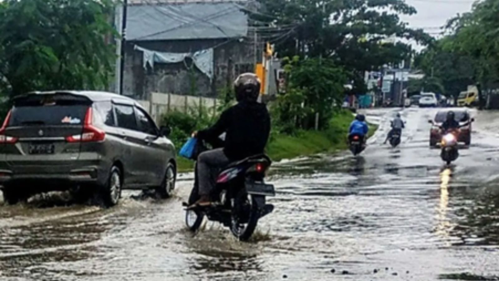
BMKG has issued a rainfall warning for East Kalimantan for 03 January, with the most disruptive impacts expected within a 24–48-hour window. Forecasts indicate moderate to heavy rainfall capable of triggering localized flooding in low-lying urban and riverside areas, alongside isolated landslides in upland districts. Severity is assessed as moderate due to the localized but recurring nature of impacts, while confidence remains relatively high given recent forecast accuracy and prevailing monsoonal conditions.
Current Updates
BMKG advisories highlight widespread showers with isolated heavy downpours across East Kalimantan. Coastal and riverine zones, including Balikpapan Bay and the Mahakam River corridor, alongside upland areas in Kutai Kartanegara and Paser, are identified as higher-risk locations. Local disaster management agencies are expected to issue real-time guidance, and residents have been advised to monitor official updates and limit travel during peak rainfall periods.
Known Hotspots & Sensitive Zones
- High-impact zones: Riverside kelurahan along the Mahakam River in Samarinda, low-lying coastal neighborhoods in Balikpapan, and upland slopes in Kutai Kartanegara susceptible to landslides.
- Medium-impact areas: Riverside kelurahan along the Mahakam River in Samarinda, low-lying coastal neighborhoods in Balikpapan, and upland slopes in Kutai Kartanegara susceptible to landslides.
- Low Impact Zones: Elevated inland areas with established drainage and lower population density.
Rainfall-related flooding and access disruption recur seasonally during January, increasing cumulative risk.
Impact on Transportation & Services
Heavy rainfall is likely to slow road traffic and cause temporary closures on sections of the Balikpapan–Samarinda corridor and low-lying urban roads. Ferry services across smaller Mahakam crossings may face delays, while port operations in Balikpapan could experience short-term schedule adjustments. Air transport disruptions are expected to be limited to minor delays. Business operations reliant on road-based logistics, outdoor works or just-in-time supply chains may experience short-lived interruptions, while utilities face a moderate risk of localized outages in flood-prone areas.
Recommended Action
- Organizations should activate incident response protocols, prioritize employee safety through flexible work arrangements, and secure ground-level assets against water ingress.
- Logistics and transport plans should be adjusted to avoid high-risk corridors during peak rainfall. Engagement with local BPBD advisories and continuous monitoring of BMKG updates is recommended.
- Over the longer term, businesses should integrate monsoon preparedness into continuity planning, including drainage audits and asset elevation measures.
Multi-Dimensional Impact
No significant cross-sector or non-related event impacts are anticipated beyond localized community disruption and temporary displacement in flood-prone neighborhoods.
Emergency Contacts
- Emergency Number: 112
- BMKG public weather warning: bmkg.go.id/
Situational Outlook
The most likely outlook is localized flooding and short-term transport disruption resolving within one to three days, supported by rapid emergency response. A moderate escalation could occur if rainfall persists beyond forecast windows, while severe escalation remains less likely but possible if riverine flooding intensifies across multiple districts simultaneously.
Strategic Takeaway
The rainfall warning represents a familiar but consequential environmental risk for East Kalimantan during the monsoon season. Proactive monitoring, early operational adjustments and coordination with local authorities can significantly reduce impact. Leveraging early warning and situational intelligence platforms such as MitKat’s Datasurfr can strengthen preparedness and decision-making during evolving weather events.
Stay ahead of operational risks with real-time alerts, scenario modeling, and expert advisories with datasurfr’s Predict. Start your 14-day free trial of Datasurfr’s Risk Intelligence Platform today.
