Operational Context
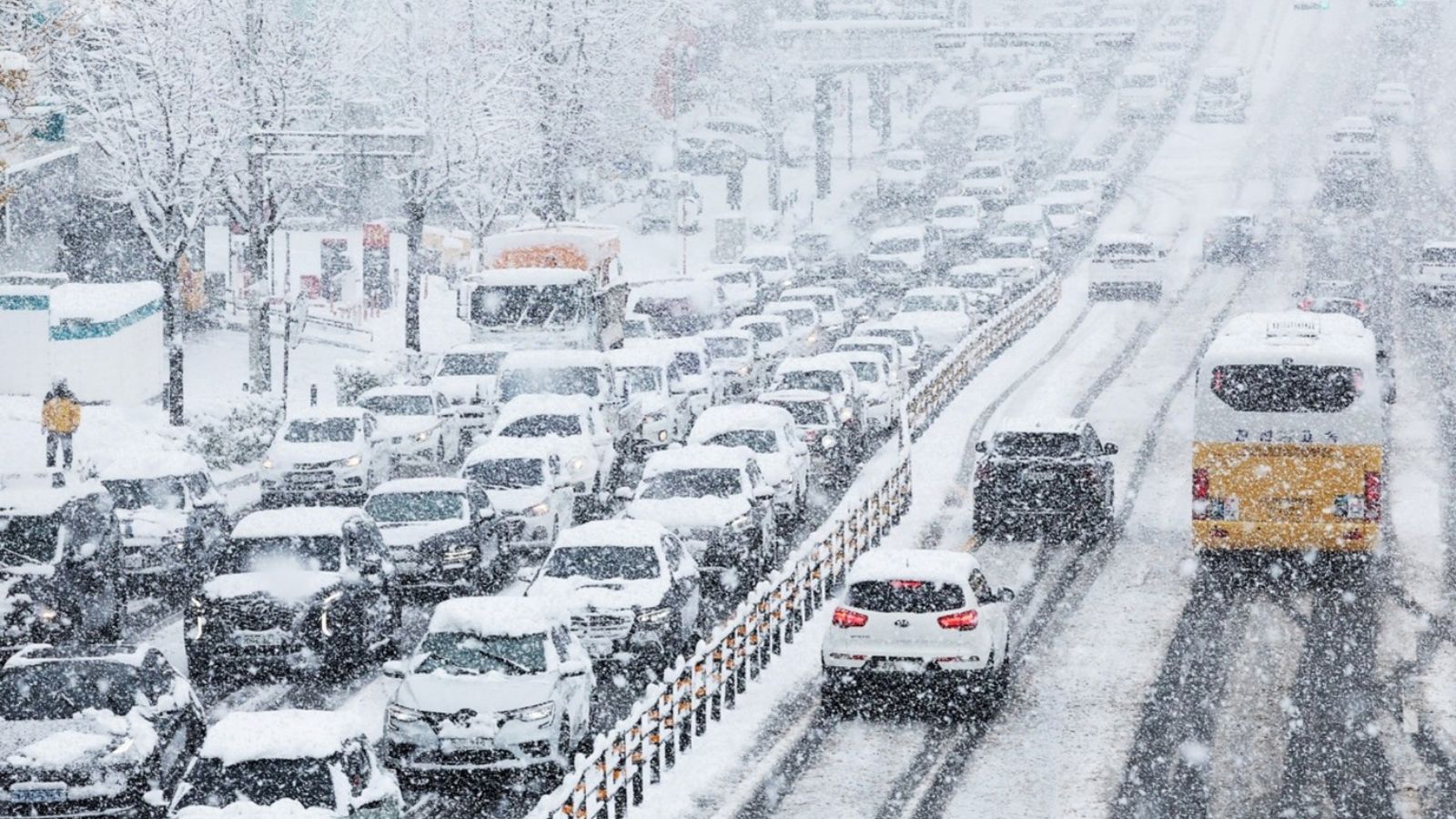
South Korea experiences recurrent winter snowfall events that periodically disrupt transport, logistics and daily operations, particularly in coastal, island and mountainous regions. Heavy snowfall warnings issued by the Korea Meteorological Administration typically signal a short but intense impact window requiring rapid response from municipal authorities, transport operators and businesses. The January period aligns with seasonal vulnerability due to cold temperatures, high travel volumes and dependence on ferry and expressway connectivity in eastern corridors. Past events demonstrate that even moderate national-level snowfall can create localized high-severity disruptions, especially on islands such as Ulleungdo and Dokdo and on mountain passes linking the east coast to inland urban centres.
Executive Summary
- Event Date: 02 January
- Location: South Korea
- Risk Category: Environment
- Severity Level: 3 / 5
- Confidence Score: 70 %
The Korea Meteorological Administration issued a heavy snowfall warning on 02 January 2026, forecasting a concentrated 24–36-hour snowfall window extending into 03 January. Accumulations are expected to vary by region, with higher totals on exposed islands and elevated eastern corridors. The overall risk is assessed as moderate, with the highest impacts anticipated on road mobility, ferry operations and last-mile logistics.
Current Updates
The heavy snowfall warning remains active, with local governments notified and response measures underway. Road management agencies have pre-deployed snow-removal equipment and de-icing materials on major expressways and mountain routes. Public advisories recommend avoiding non-essential travel during peak snowfall, and ferry operators are preparing for possible suspensions if conditions deteriorate.
Known Hotspots & Sensitive Zones
- High Impact Zones: Ulleungdo and Dokdo ferry terminals, eastern coastal districts of Gangwon and North Gyeongsang, and high-elevation mountain passes along the Yeongdong and Donghae Expressways.
- Medium Impact Zones: Inland metropolitan areas experiencing lower accumulation but heightened traffic risk due to drifting and icy conditions.
- Low Impact Zones: Southern and western inland regions with limited exposure.
Heavy snowfall events recur seasonally during December to February, with islands and mountain corridors consistently experiencing disproportionate disruption.
Impact on Transportation & Services
Road transport is expected to face closures and speed restrictions on expressways and county roads, particularly in mountainous and coastal regions. Ferry services to island communities may be suspended, disrupting passenger movement and supply deliveries. Rail and air services may experience delays due to de-icing and operational safety checks. Business operations are likely to face short-term workforce absenteeism, delivery delays and constrained access to facilities in affected areas.
Recommended Action
- Organizations should activate snow response protocols, issue travel advisories and enable remote work for non-critical staff.
- Assets and outdoor equipment should be secured against snow loading, and delivery schedules adjusted to account for delays.
- Coordination with local authorities, road agencies and emergency services is advised.
- Longer-term measures include winter resilience planning, diversified logistics routing and reliance on early-warning platforms for timely decision-making.
Multi-Dimensional Impact
While no unrelated incidents are reported, extended transport disruption may indirectly affect regional supply chains, tourism activity and municipal service delivery beyond the most affected zones.
Emergency Contacts
- Korea Meteorological Administration: kma.go.kr/eng/
- Emergency Numbers (Police/Medical Help): 112/119
Situational Outlook
The most likely scenario over the next 24 to 72 hours is regionally concentrated heavy snowfall affecting eastern coastal corridors and islands, with transport delays and localized closures but recovery within two to three days. A moderate escalation remains possible if snowfall exceeds forecasts, particularly on Ulleungdo and mountain passes, while a severe, prolonged disruption is less likely but cannot be ruled out under adverse wind and accumulation conditions.
Strategic Takeaway
The heavy snowfall warning represents a manageable but time-sensitive environmental risk with localized high-impact potential. Proactive safety measures, flexible operations and close monitoring are essential to reduce disruption. Early-warning and preparedness tools such as MitKat’s Datasurfr can enhance situational awareness and support resilient decision-making during winter weather events.
Stay ahead of operational risks with real-time alerts, scenario modeling, and expert advisories with datasurfr’s Predict. Start your 14-day free trial of Datasurfr’s Risk Intelligence Platform today.


