Operational Context
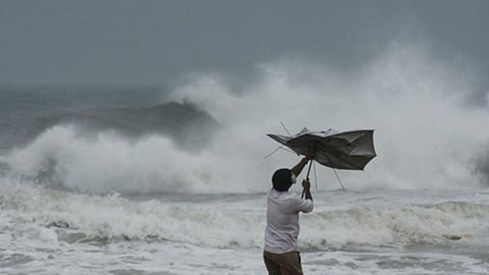
The Bay of Bengal remains one of the most cyclone-prone basins globally, with storms such as Phailin (2013), Fani (2019), and Hudhud (2014) causing severe regional disruption. Cyclone Montha, developing over the central Bay, mirrors early signatures of past high-impact systems. Densely populated coastal states—Odisha, Andhra Pradesh, Tamil Nadu, and West Bengal—along with the Andaman & Nicobar Islands face the greatest risk. Based on historical patterns, the storm could intensify and sustain activity for 3–5 days, leading to heavy rainfall, high winds, and storm surges before landfall.
Executive Summary
- Date of Event: 27 October 2025
- Location: Bay of Bengal – Impact zones: Tamil Nadu, Andhra Pradesh, Odisha, Puducherry, Andaman & Nicobar
- Risk Category: Natural Disaster
- Severity Level: 4 / 5
- Confidence Score: 88 %
Cyclone Montha has formed over the Bay of Bengal and is tracking northwest toward India’s eastern seaboard. The India Meteorological Department (IMD) confirms its classification as a Cyclonic Storm with a high probability of intensification. Coastal regions face heavy rain, strong winds, and storm surges through late October. Major ports, airports, and highways along the east coast may experience prolonged disruption. The risk level is elevated due to population density and critical infrastructure concentration in the projected impact corridor.
Current Updates
IMD advisories (27 Oct) confirm active cyclogenesis over the central Bay. Current projections indicate a northwestward drift toward Odisha and northern Andhra Pradesh, with landfall possible by midweek. Heavy rainfall alerts are in place for Odisha, Andhra Pradesh, and coastal West Bengal, and the Andaman & Nicobar Islands have been placed under watch. Further intensification into a Severe Cyclonic Storm remains possible.
Known Hotspots & Sensitive Zones
- Primary Threat Belt: Odisha (Puri, Ganjam, Jagatsinghpur), Andhra Pradesh (Visakhapatnam, Srikakulam), Tamil Nadu (Chennai coast), West Bengal (East Medinipur, South 24 Parganas)
- Critical Infrastructure: Paradip Port, Visakhapatnam Port, Gopalpur Port, Biju Patnaik Airport (Bhubaneswar)
- High-Risk Communities: Coastal fishing villages, low-lying deltas, and mangrove zones in the Sundarbans.
Impact on Transportation & Services
- Roads & Rail: Flooding and debris likely to close segments of NH-16 and coastal rail lines (Bhubaneswar–Visakhapatnam–Chennai corridor).
- Air: Flight cancellations probable at Bhubaneswar, Visakhapatnam, and Chennai airports.
- Ports: Paradip and Visakhapatnam expected to suspend operations; coastal shipping halted.
- Power & Utilities: Anticipate large-scale power cuts, waterlogging, and network disruptions.
- Business Operations: Industrial units, fisheries, and tourism to face downtime; moderate to severe property damage possible.
Recommendations
- Employee Safety: Suspend non-essential travel to coastal areas. Activate remote work and emergency rosters; ensure staff have evacuation and shelter guidance.
- Asset Protection: Move vehicles and critical equipment to higher ground; test backup power systems and secure outdoor infrastructure.
- Supply Chain Readiness: Reroute or pre-position essential goods inland; confirm supplier and logistics contingency plans.
- Crisis Coordination: Establish 24/7 emergency operations cell linking Security, HR, IT, and Facilities teams.
- Communications: Disseminate verified IMD and NDMA updates; maintain stakeholder alerts on operational continuity and recovery timelines.
Multi-Dimensional Impact
The cyclone poses high risks to mobility, infrastructure, and safety. Expect extensive transport disruption, power outages, and communication loss. Ports and manufacturing clusters near Visakhapatnam and Paradip could sustain direct damage. Agricultural and fishing sectors face heavy losses from storm surge and saline water intrusion. Long-term recovery challenges include infrastructure repair, social displacement, and logistical bottlenecks.
Situation Outlook
Over the next 72–120 hours, Cyclonic Storm Montha is expected to remain a major weather system. The baseline scenario (60%) suggests moderate rainfall and wind damage confined to coastal districts with quick recovery. A moderate escalation (30%) could see Montha intensify into a Severe Cyclonic Storm with 90–110 km/h winds, causing power and logistics disruptions. In a severe case (10%), it may strengthen further into a Very Severe Cyclonic Storm (120–150+ km/h) making landfall near major cities like Puri or Visakhapatnam, resulting in widespread destruction and week-long recovery.
Emergency & Monitoring Channels
- Emergency: 112
- Police: 100 | Fire: 101 | Ambulance: 102
- IMD: @Indiametdept
- NDMA: @ndmaindia
- State Authorities:
- OSDMA (Odisha): 0674-2534177
- APSDMA (Andhra Pradesh): 1070
- WBSDMA (West Bengal): 033-2214-3230
Strategic Takeaway
Treat the Bay of Bengal coastal belt as a high-alert zone from 27–31 Oct. Prioritize personnel safety, asset resilience, and communication continuity. Maintain constant coordination with IMD and NDMA advisories for dynamic response and rapid post-impact assessment. Stay ahead of operational risks with real-time alerts, scenario modeling, and expert advisories with datasurfr’s Predict. Start your 14-day free trial of Datasurfr’s Risk Intelligence Platform today.
