KEY TAKEAWAYS:
- The first major nor’easter of the fall season began affecting the US East Coast on 24–25 September, with peak activity on 26–27 September and conditions forecast to taper between 28 and 29 September as the system moves offshore toward Atlantic Canada.
- Reporting indicates more than 40 million people across the Mid-Atlantic and New England are affected. States of emergency were declared in New Jersey and New York, with voluntary evacuation advisories along the Jersey Shore and major coastal flooding on barrier islands.
- Roughly 88,000 to 95,000 customers were without power across six states at the peak of reporting, wind gusts reached up to 64 mph in Farmingdale, Long Island, and offshore waves reportedly hit 20 feet.
- Air travel took a heavy hit, with 439 cancellations and 2,459 delays reported nationwide as of 26 September, including 253 cancellations at Boston Logan.
- One death was reported in Brooklyn after a tree fell in high winds. Businesses should expect residual road, rail, air and marine disruption, and repeated high-tide flooding along the coast, even as winds ease.
A powerful nor’easter is battering the US East Coast, with coastal flooding, power outages and heavy air-travel disruption from the Mid-Atlantic to New England. This is a live-event advisory based on reporting as of 27 September and will be superseded as the storm weakens and moves offshore.
What is the current nor’easter and where is it headed?
A nor’easter is a coastal storm named for the strong northeasterly winds that blow over coastal areas; like hurricanes, nor’easters are cyclones, and strong ones can produce damaging winds above 50 mph (80 km/h), heavy rain or snow, significant coastal flooding and hazardous travel. The current system is the first major nor’easter of the fall season. It began affecting the East Coast on 24–25 September, with peak activity expected on 26–27 September. It is forecast to remain offshore through 27 September, with the possibility of a brief approach toward the coast, before weakening and moving toward Atlantic Canada, with conditions tapering between 28 and 29 September. Heavy rain is expected to persist across much of the Northeast, especially southern New England, with the heaviest rainfall forecast from southern New Jersey to northern Massachusetts, including New York City and Boston.
Which areas and how many people are affected?
Reports indicate the storm has affected more than 40 million people across New Jersey, Delaware, Maryland, New York, Long Island, Rhode Island, Connecticut, Massachusetts and Maine, with impacts including strong winds, heavy rainfall, coastal flooding, storm surge, elevated surf and beach erosion. New Jersey’s governor declared a state of emergency effective 1700 hours local time on 25 September across Atlantic, Burlington, Cape May, Cumberland, Middlesex, Monmouth, Ocean and Salem counties, and New York’s governor declared one covering the five New York City boroughs plus Nassau, Suffolk and Westchester counties. Connecticut activated its State Emergency Operations Center, New York City issued travel advisories for low-lying coastal areas and basement apartments, and Jersey Shore municipalities including Point Pleasant and Manasquan issued voluntary evacuation advisories for areas near beaches and tidal canals.
What damage and disruption has the storm caused so far?
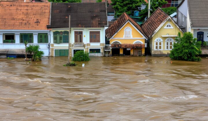
Wind gusts reached 64 mph in Farmingdale on Long Island, above 60 mph on Nantucket and Martha’s Vineyard, 56 mph in Bridgeport, and around 55 mph in Atlantic City, Providence and Block Island, with rainfall totals of up to roughly 1.7 inches. Major coastal flooding hit New Jersey’s barrier islands, inundating streets and properties in Surf City, Sea Bright, Long Branch and Manasquan, and inbound bridges to barrier islands between Sandy Hook and Wildwood were closed because of flooding. Officials warned that floodwaters could persist across several successive high-tide cycles, with further high-tide flooding expected on the morning of 27 September. The Metropolitan Transportation Authority restricted empty tractor-trailers and tandem trucks on its bridges and tunnels from 0001 hours on 26 September until 0200 hours on 27 September because of high winds. At the peak of reporting, roughly 88,000 to 95,000 customers were without power across New York, New Jersey, Connecticut, Massachusetts, Rhode Island and Pennsylvania. One person was reportedly killed and four injured in Brooklyn when a tree brought down by high winds struck them, and responders in Egg Harbor Township, New Jersey rescued nine adults and a dog from flooded motel units.
How badly has air travel been disrupted?
As of 1813 hours local time on 26 September, US airports recorded 439 cancellations and 2,459 delays, with 253 cancellations at Boston Logan International Airport (BOS), by far the most affected airport. Weather-related operational disruption was also reported at New York’s JFK and LaGuardia and at Newark Liberty, while Philadelphia, Portland (Maine), Providence, and Westchester County airports were included in regional weather travel advisories for 26–27 September. Travellers using Northeast airports should anticipate cancellations, delays, schedule changes and possible rerouting, particularly during periods of strong winds and heavy rain.
What is the business impact?
Road, rail, aviation and maritime transportation are expected to remain disrupted by high winds, flooding and debris, with travellers in New York City, Long Island and the New Jersey Shore facing longer journey times, reduced mobility and temporary access restrictions. Power outages can further disrupt traffic signals, telecommunications and transportation infrastructure, constraining businesses that depend on stable electricity and communications. The advisory also flags risks of flooded roads affecting logistics and supply chains, damage to power grids and water infrastructure that could lead to outages and boil-water orders, storm-surge damage to coastal infrastructure and marine activity, sewage overflow and health hazards in flooded low-lying areas, dangerous rip currents, and the possibility of tornadoes and lightning in surrounding areas.
What should businesses and residents do?
Follow only official warnings and announcements, and if an evacuation is ordered, take documents, a survival kit and your phone and go to your designated zone immediately. Never walk, swim or drive through floodwater, keep children out of flooded areas, use flashlights rather than candles, and never run a portable generator inside a home or garage. Avoid food that has touched floodwater, drink boiled water where advised, and stay out of any building if you smell gas or floodwaters remain around it. After the storm, drive only if necessary, watch for downed power lines and washed-out roads, and avoid wet electrical appliances. For preparedness going forward, keep emergency supplies in date, store key documents in waterproof bags, and subscribe to National Weather Service and NOAA alerts and the FEMA app for timely updates. Businesses should confirm staff safety, plan for outages and delayed deliveries, allow extra time for travel, and log storm-related closures and losses to support any later insurance claim.
Frequently asked questions
How long will the nor’easter last?
The storm began affecting the coast on 24–25 September, peaked on 26–27 September, and is forecast to taper between 28 and 29 September as it moves offshore toward Atlantic Canada, though repeated high-tide coastal flooding and lingering rain can continue.
Which airports are most affected?
Boston Logan (BOS) is the most affected, with 253 of 439 reported national cancellations as of the evening of 26 September; JFK, LaGuardia and Newark also reported weather-related disruption, and several other Northeast airports were covered by travel advisories.
Which US emergency numbers should I know?
911 nationwide for police, fire and medical emergencies; FEMA at 1-800-621-3362; American Red Cross at 1-800-733-2767; the Disaster Distress Helpline at 1-800-985-5990; and 2-1-1 for local shelters and recovery help in most states.
Stay updated
This is a live-event advisory based on open-source reporting as at 27 September 2026 and will be superseded as the storm weakens. Monitor the National Weather Service, NOAA and state emergency management channels directly for the latest warnings, and refer to datasurfr’s Special Advisory service for consolidated, business-focused updates.
Filed under: AmericasThreat Intelligence Advisories